File:AMH-2606-NA Map of a lodge in Coylan.jpg
Original file (2,400 × 1,874 pixels, file size: 642 KB, MIME type: image/jpeg)
Captions
Captions
Summary[edit]
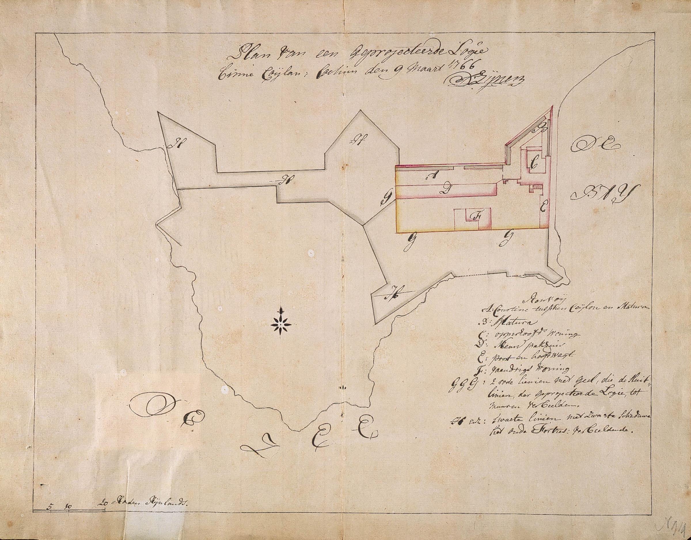
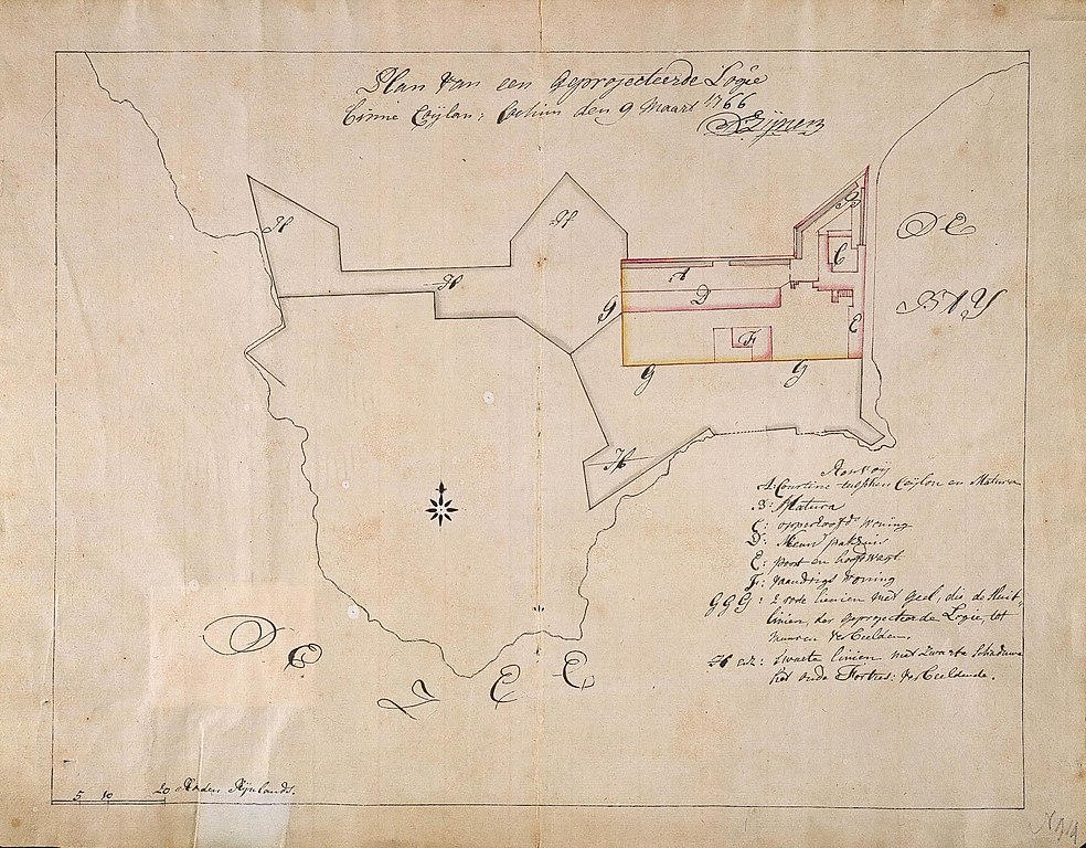
Nederlands: Plattegrond van een loge in Coylan
English: Map of a lodge in Coylan( |
||||||||||||||||||||||||
|---|---|---|---|---|---|---|---|---|---|---|---|---|---|---|---|---|---|---|---|---|---|---|---|---|
| Author |
Nederlands: D. Zijnen (landmeter / kaartenmaker)
English: D. Zijnen (land surveyor / mapmaker) |
|||||||||||||||||||||||
| Title |
Nederlands: Plattegrond van een loge in Coylan
English: Map of a lodge in Coylan |
|||||||||||||||||||||||
| Description |
Nederlands: Titel catalogus Leupe (NA]: Plan van een geprojecteerde Logie binne Coylan.
Legenda: A-H Plattegrond van de aanleg van nieuwe vestingwerken (courtine) en nieuwe loge-gebouwen (pakhuis en poort en hoofdwacht) in de oude het fort aan de baai van Coijlan. Notities verso: 1767 nr. 2; nr. 11; 499 w; 345.English: According to the Leupe catalogue (NA], the original title reads: Plan van een geprojecteerde Logie binne Coylan.
Key: A-H Map of the construction of new fortifications (curtain) and new lodge buildings (warehouse and entrance way and main guard post) in the old fort on Coylan Bay. Notes on reverse: 1767 nr. 2; nr. 11; 499 w; 345. |
|||||||||||||||||||||||
| Date | 9 March 1766 | |||||||||||||||||||||||
| Medium |
Nederlands: ingekleurde tekening op papier
English: coloured drawing on paper |
|||||||||||||||||||||||
| Dimensions | height: 41 cm (16.1 in); width: 33 cm (12.9 in) | |||||||||||||||||||||||
| Collection |
|
|||||||||||||||||||||||
| Accession number |
NL-HaNA_4.VEL_914 (old number: VEL0914) |
|||||||||||||||||||||||
| Inscriptions |
Plan van een geprojecteerde Logie binne Coylan
author: D. Zynen |
|||||||||||||||||||||||
| Notes |
English: Subjects: chart / map / plan, house, warehouse, gate, key
Nederlands: Onderwerpen: plattegrond / kaart, huis / woonhuis, pakhuis, poort, legenda
English: Post: this image is related to a VOC trading post called Quilon |
|||||||||||||||||||||||
| Source/Photographer |
|
|||||||||||||||||||||||
| Permission (Reusing this file) |
|
|||||||||||||||||||||||

| Object location | | View this and other nearby images on: OpenStreetMap |
|---|
File history
Click on a date/time to view the file as it appeared at that time.
| Date/Time | Thumbnail | Dimensions | User | Comment | |
|---|---|---|---|---|---|
| current | 16:07, 10 June 2014 | | 2,400 × 1,874 (642 KB) | HuskyBot (talk | contribs) | == {{int:filedesc}} == {{Artwork |title = {{nl|1=Plattegrond van een loge in Coylan}} {{en|1=Map of a lodge in Coylan}} |description = {{nl|1=Titel catalogus Leupe (NA]: ''Plan van een geprojecteerde Logie binn... |
You cannot overwrite this file.
File usage on Commons
The following page uses this file: