File:72 of 'La Vallée du Darror; voyage aux pays Çomalis, Afrique orientale. Types, scènes, paysages, panoramas hors texte, d'après les photographies et les croquis de l'auteur, etc' (11282599736).jpg

Original file (1,335 × 1,052 pixels, file size: 117 KB, MIME type: image/jpeg)
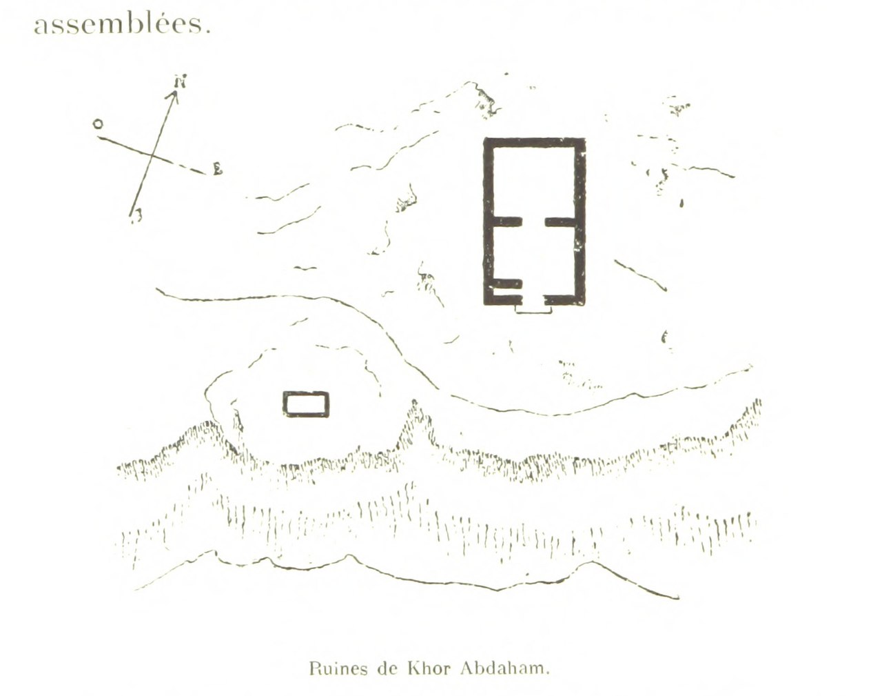
Captions
Captions
Summary[edit]
| Description |
View this map on the BL Georeferencer service. Image taken from: Title: "La Vallée du Darror; voyage aux pays Çomalis, Afrique orientale. Types, scènes, paysages, panoramas hors texte, d'après les photographies et les croquis de l'auteur, etc" Author: RÉVOIL, Georges. Shelfmark: "British Library HMNTS 10097.l.11." Page: 72 Place of Publishing: Paris Date of Publishing: 1882 Issuance: monographic Identifier: 003080515 Explore: Find this item in the British Library catalogue, 'Explore'. Download the PDF for this book (volume: 0) Image found on book scan 72 (NB not necessarily a page number) Download the OCR-derived text for this volume: (plain text) or (json) Click here to see all the illustrations in this book and click here to browse other illustrations published in books in the same year. Order a higher quality version from here.
|
||||
| Date | |||||
| Source | Image taken from page 72 of 'La Vallée du Darror; voyage aux pays Çomalis, Afrique orientale. Types, scènes, paysages, panoramas hors texte, d'après les photographies et les croquis de l'auteur, etc' | ||||
| Author | The British Library | ||||
| Permission (Reusing this file) |
The British Library @ Flickr Commons |

.jpg&action=edit§ion=1)
| Object location | | View this and other nearby images on: OpenStreetMap |
|---|
.jpg¶ms=011.510350_N_0051.121790_E_globe:Earth_class:object_type:object__&language=en)
Licensing[edit]
.jpg&action=edit§ion=2)
This image was taken from Flickr's The Commons. The uploading organization may have various reasons for determining that no known copyright restrictions exist, such as:
More information can be found at https://flickr.com/commons/usage/. Please add additional copyright tags to this image if more specific information about copyright status can be determined. See Commons:Licensing for more information. |
| This image was originally posted to Flickr by The British Library at https://flickr.com/photos/12403504@N02/11282599736 (archive). It was reviewed on 21 February 2018 by FlickreviewR 2 and was confirmed to be licensed under the terms of the No known copyright restrictions. |
File history
Click on a date/time to view the file as it appeared at that time.
| Date/Time | Thumbnail | Dimensions | User | Comment | |
|---|---|---|---|---|---|
| current | 21:08, 21 February 2018 | | 1,335 × 1,052 (117 KB) | Artix Kreiger 2 (talk | contribs) | Transferred from Flickr via Flickr2Commons |
You cannot overwrite this file.
File usage on Commons
There are no pages that use this file.
.jpg&oldid=781716954)