File:273 Aurignac.JPG
Jump to navigation
Jump to search

Size of this preview: 450 × 600 pixels. Other resolutions: 180 × 240 pixels | 360 × 480 pixels | 576 × 768 pixels | 1,200 × 1,600 pixels.
Original file (1,200 × 1,600 pixels, file size: 567 KB, MIME type: image/jpeg)
Captions
Captions
Add a one-line explanation of what this file represents
Summary
[edit]
| Description |
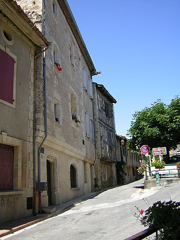
Español: Calle de Aurignac (Alto Garona, Francia). |
| Date | Taken on 20 July 2005 |
| Source | Self-photographed |
| Author | Sumolari, B25es |
| Camera location | | View this and other nearby images on: OpenStreetMap |
|---|
Licensing
[edit]
| I, the copyright holder of this work, release this work into the public domain. This applies worldwide. In some countries this may not be legally possible; if so: I grant anyone the right to use this work for any purpose, without any conditions, unless such conditions are required by law. |
File history
Click on a date/time to view the file as it appeared at that time.
| Date/Time | Thumbnail | Dimensions | User | Comment | |
|---|---|---|---|---|---|
| current | 21:03, 29 May 2008 | | 1,200 × 1,600 (567 KB) | B25es (talk | contribs) | == Sumario == {{Information |Description= Mapa de ejecución de comunas de Francia |Source= Sumolari, B25es |Date= 20-07-2005 |Author= Sumolari, B25es |Permission= PD-self |other_versions= }} Category:Aurignac |
You cannot overwrite this file.
File usage on Commons
There are no pages that use this file.