File:2182v1 20180122-StLawrenceB.png
Original file (1,920 × 965 pixels, file size: 1.41 MB, MIME type: image/png)
Captions
Captions
Summary[edit]
| Description |
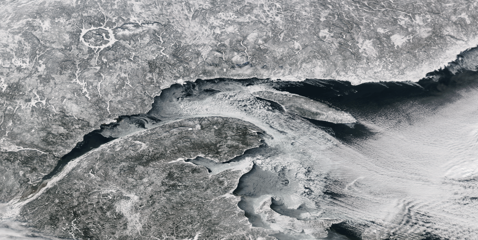
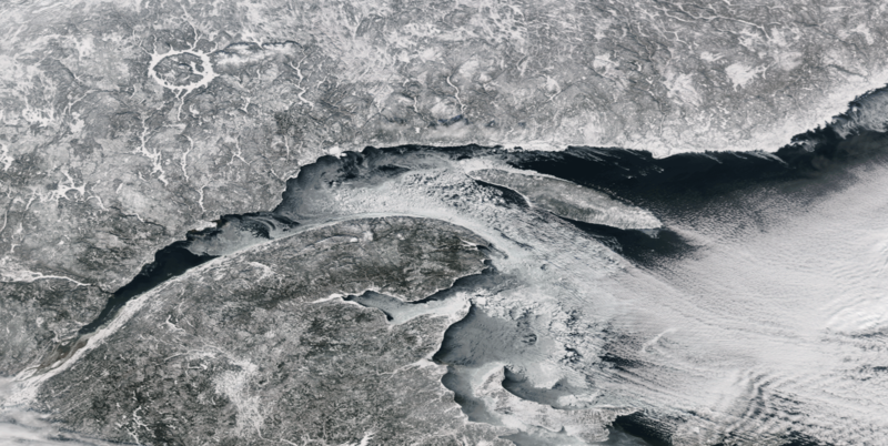
English: Clear skies over the Saint Lawrence Seaway
The Suomi NPP satellite's VIIRs instrument captured this view of clear skies over the mouth of the St. Lawrence River on January 22, 2018. Clouds often obscure the Canadian maritime provinces during the winter months, due to storm systems and the temperature contrast between cold land areas and the relatively warmer river and sea waters. This image shows the snow-covered land of eastern Canada in stunning detail. Ice floes can be discerned in the bluish-gray areas extending from the river shoreline. The ring-shaped Manicouagan Reservoir, site of one of the world's oldest impact craters, can be seen in the upper left. Low tide in the Bay of Fundy, home to the world's most extreme tidal swings, is also evident in the brown areas at the bottom-center portion of this imagery.
|
| Date | |
| Source | NOAA/NASA |
| Author | National Oceanic and Atmospheric Administration |
Licensing[edit]
This image is in the public domain because it contains materials that originally came from the U.S. National Oceanic and Atmospheric Administration, taken or made as part of an employee's official duties.
|
File history
Click on a date/time to view the file as it appeared at that time.
| Date/Time | Thumbnail | Dimensions | User | Comment | |
|---|---|---|---|---|---|
| current | 20:45, 7 February 2018 | | 1,920 × 965 (1.41 MB) | Jotzet (talk | contribs) | Watermark removed by cropping 11 % vertically using CropTool with precise mode. |
| 20:43, 7 February 2018 |  | 1,920 × 1,080 (1.56 MB) | Jotzet (talk | contribs) | User created page with UploadWizard |
You cannot overwrite this file.
File usage on Commons
The following page uses this file: