File:2016-02-06-1818-UTC 48hrsfc.gif
Jump to navigation
Jump to search
No higher resolution available.
2016-02-06-1818-UTC_48hrsfc.gif (800 × 509 pixels, file size: 208 KB, MIME type: image/gif)
Captions
Captions
Add a one-line explanation of what this file represents
Summary[edit]
| Description |
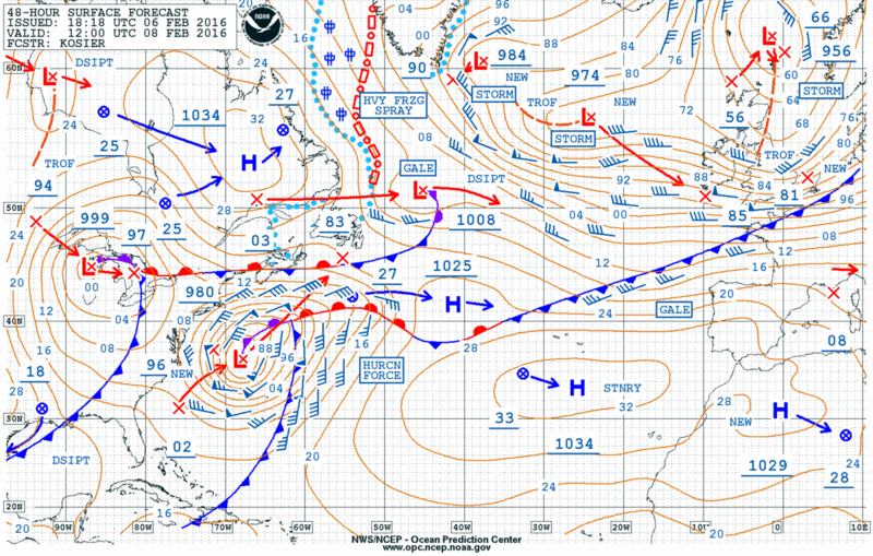
English: 48h Atlantic surface map valid for 2016-02-08 1200 UTC
Deutsch: 48-Stunden-Bodenkarte Atlantik gültig für 2016-02-08 1200 UTC |
| Date | |
| Source | http://www.opc.ncep.noaa.gov/shtml/A_48hrsfc.gif |
| Author | NOAA |
Licensing[edit]
This image is in the public domain because it contains materials that originally came from the U.S. National Oceanic and Atmospheric Administration, taken or made as part of an employee's official duties.
|
File history
Click on a date/time to view the file as it appeared at that time.
| Date/Time | Thumbnail | Dimensions | User | Comment | |
|---|---|---|---|---|---|
| current | 23:10, 7 February 2016 | | 800 × 509 (208 KB) | Matthiasb (talk | contribs) | {{Information |Description ={{en|1=48h Atlantic surface map valid for 2016-02-08 1200 UTC}} {{de|1=48-Stunden-Bodenkarte Atlantik gültig für 2016-02-08 1200 UTC}} |Source =http://www.opc.ncep.noaa.gov/shtml/A_48hrsfc.gif |Author =N... |
You cannot overwrite this file.
File usage on Commons
The following page uses this file:
File usage on other wikis
The following other wikis use this file:
- Usage on de.wikipedia.org