File:2014 08 18 006 Ehemaliges Rathaus, Marktplatz 9.jpg
Jump to navigation
Jump to search

Size of this preview: 365 × 599 pixels. Other resolutions: 146 × 240 pixels | 292 × 480 pixels | 468 × 768 pixels | 624 × 1,024 pixels | 1,745 × 2,864 pixels.
Original file (1,745 × 2,864 pixels, file size: 3.91 MB, MIME type: image/jpeg)
Captions
Captions
Add a one-line explanation of what this file represents
Summary[edit]
| Description |
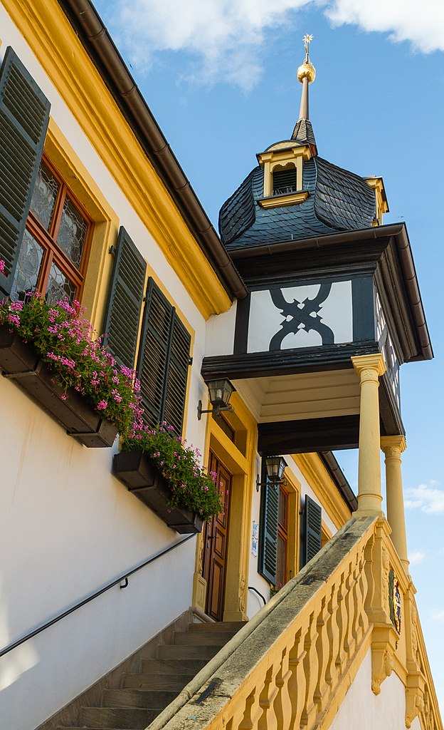
Designation: Former town hall
|
| Date | Taken on 18 August 2014, 18:47:08 |
| Source | Self-photographed |
| Author | Friedrich Haag |
| Permission (Reusing this file) |
I, the copyright holder of this work, hereby publish it under the following license: This file is licensed under the Creative Commons Attribution-Share Alike 4.0 International license. Attribution: Friedrich Haag
|
| Attribution (required by the license) | © Friedrich Haag / Wikimedia Commons / |
| Object location | | View this and other nearby images on: OpenStreetMap |
|---|
| Camera location | | View this and other nearby images on: OpenStreetMap |
|---|
Other[edit]

|
This image was uploaded as part of Wiki Loves Monuments 2015.
|
This image has been assessed using the Quality image guidelines and is considered a Quality image.
|
File history
Click on a date/time to view the file as it appeared at that time.
| Date/Time | Thumbnail | Dimensions | User | Comment | |
|---|---|---|---|---|---|
| current | 09:54, 17 September 2015 | | 1,745 × 2,864 (3.91 MB) | F. Riedelio (talk | contribs) | User created page with UploadWizard |
You cannot overwrite this file.
File usage on Commons
The following 5 pages use this file:
File usage on other wikis
The following other wikis use this file:
- Usage on de.wikipedia.org