File:2011 Washi.jpg
Jump to navigation
Jump to search

Size of this preview: 460 × 600 pixels. Other resolutions: 184 × 240 pixels | 368 × 480 pixels | 589 × 768 pixels | 785 × 1,024 pixels | 1,570 × 2,048 pixels | 4,600 × 6,000 pixels.
Original file (4,600 × 6,000 pixels, file size: 3.68 MB, MIME type: image/jpeg)
Captions
Captions
Add a one-line explanation of what this file represents
Summary[edit]
| Camera location | | View this and other nearby images on: OpenStreetMap |
|---|
| Description |
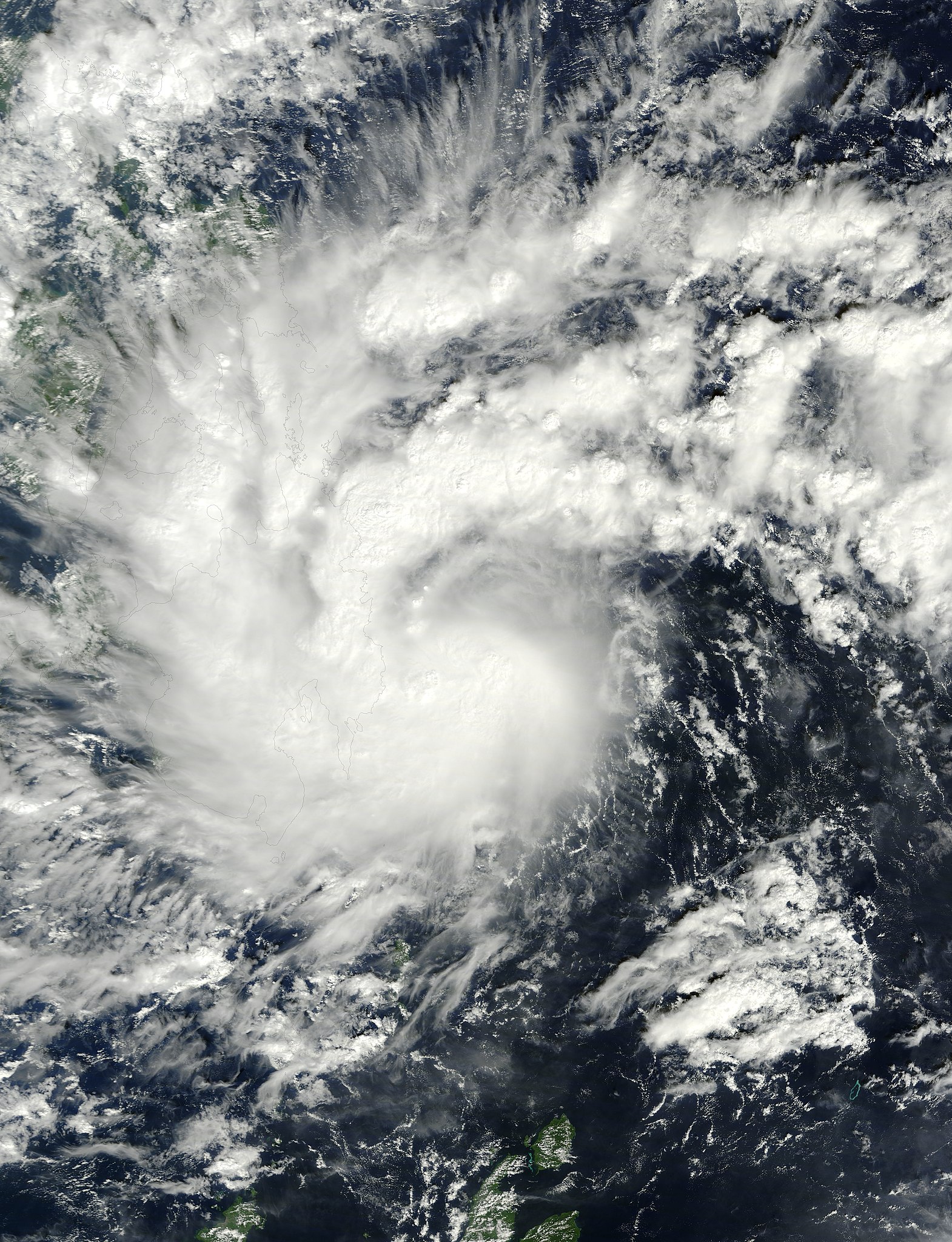
English: Severe Tropical Storm Washi (Sendong) over Mindanao on December 16, 2011, several hours before making landfall. |
| Date | |
| Source | http://rapidfire.sci.gsfc.nasa.gov/cgi-bin/imagery/single.cgi?image=Washi.A2011350.0145.1km.jpg |
| Author | NASA |
Licensing[edit]
| This file is in the public domain in the United States because it was solely created by NASA. NASA copyright policy states that "NASA material is not protected by copyright unless noted". (See Template:PD-USGov, NASA copyright policy page or JPL Image Use Policy.) | ||
 |
Warnings:
|
File history
Click on a date/time to view the file as it appeared at that time.
| Date/Time | Thumbnail | Dimensions | User | Comment | |
|---|---|---|---|---|---|
| current | 13:23, 20 December 2011 | | 4,600 × 6,000 (3.68 MB) | Adrien1018 (talk | contribs) |
You cannot overwrite this file.
File usage on Commons
The following 2 pages use this file:
File usage on other wikis
The following other wikis use this file:
- Usage on bcl.wikipedia.org
- Usage on de.wikipedia.org
- Usage on en.wikipedia.org
- Usage on fr.wikipedia.org
- Usage on id.wikipedia.org
- Usage on it.wikipedia.org
- Usage on ja.wikipedia.org
- Usage on ko.wikipedia.org
- Usage on nl.wikipedia.org
- Usage on pt.wikipedia.org
- Usage on ru.wikipedia.org
- Usage on simple.wikipedia.org
- Usage on th.wikipedia.org
- Usage on tl.wikipedia.org
- Usage on uk.wikipedia.org
- Usage on vi.wikipedia.org
- Usage on www.wikidata.org
- Usage on zh.wikipedia.org