File:2. Upper Independence Landing (E. Kentucky Road and N. River Boulevard, Independence, MO) on the California, Oregon, and Santa Fe National Historic Trails (2004) (38f7ea31-c116-4d40-b33c-cb947c5a087a).jpg
Jump to navigation
Jump to search

Size of this preview: 800 × 533 pixels. Other resolutions: 320 × 213 pixels | 640 × 426 pixels | 1,024 × 682 pixels | 1,280 × 852 pixels | 1,645 × 1,095 pixels.
Original file (1,645 × 1,095 pixels, file size: 1.62 MB, MIME type: image/jpeg)
Captions
Captions
Add a one-line explanation of what this file represents

|
The categories of this image need checking. You can do so here.
|
_on_the_California,_Oregon,_and_Santa_Fe_National_Historic_Trails_(2004)_(38f7ea31-c116-4d40-b33c-cb947c5a087a).jpg&action=edit&withJS=MediaWiki:Catcheck.js)
Summary[edit]
_on_the_California,_Oregon,_and_Santa_Fe_National_Historic_Trails_(2004)_(38f7ea31-c116-4d40-b33c-cb947c5a087a).jpg&action=edit§ion=1)
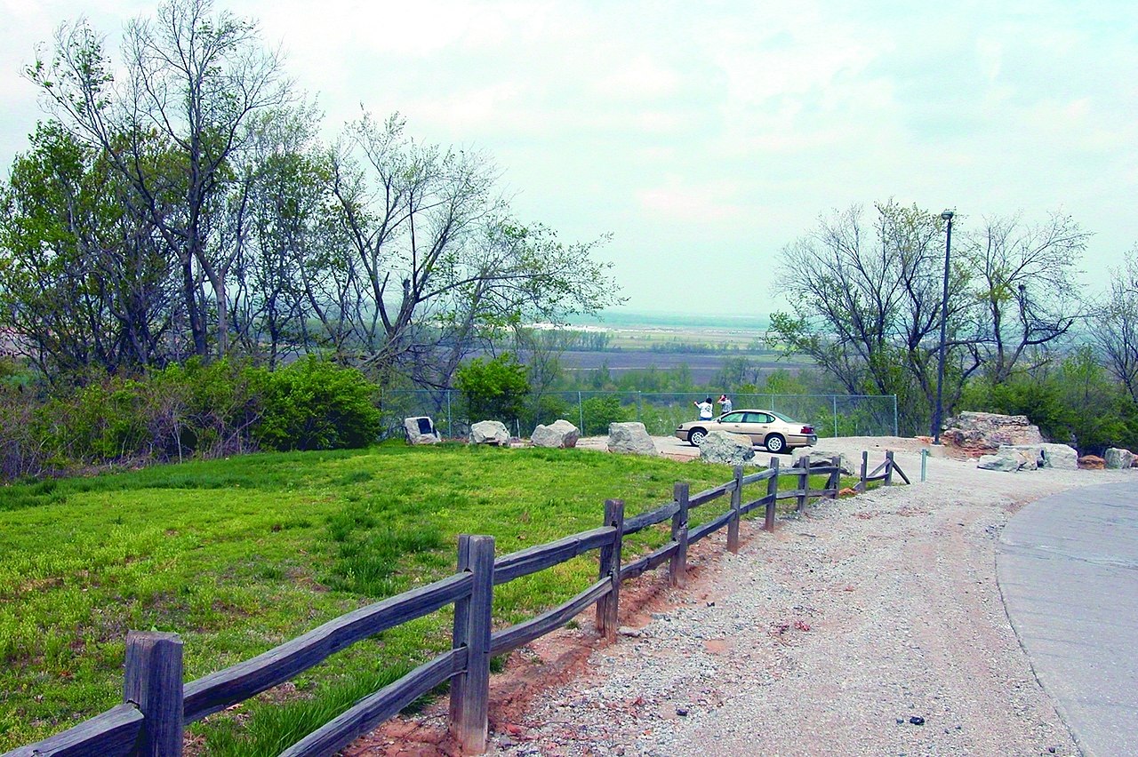
| English: 2. Upper Independence Landing (E. Kentucky Road and N. River Boulevard, Independence, MO) on the California, Oregon, and Santa Fe National Historic Trails (2004) | ||||
|---|---|---|---|---|
| Photographer |
English: NPS Staff (Photo Credit: NPS) |
|||
| Title |
English: 2. Upper Independence Landing (E. Kentucky Road and N. River Boulevard, Independence, MO) on the California, Oregon, and Santa Fe National Historic Trails (2004) |
|||
| Description |
English: ATR-Western Missouri Through Northeastern Kansas-2
|
|||
| Depicted place |
English: Independence, Jackson County, Missouri |
|||
| Date | Taken on 18 April 2004 | |||
| Accession number | ||||
| Source |
English: NPGallery |
|||
| Permission (Reusing this file) |
|
|||
| Contacts | English: Organization: National Trails Intermountain Region Address: National Trails Intermountain Region PO Box 728 Santa Fe, NM 87504-0728 Email: lodi_administration@nps.gov |
|||
| NPS Unit Code | CALI, OREG, SAFE | |||
File history
Click on a date/time to view the file as it appeared at that time.
| Date/Time | Thumbnail | Dimensions | User | Comment | |
|---|---|---|---|---|---|
| current | 07:23, 29 June 2019 | | 1,645 × 1,095 (1.62 MB) | BMacZeroBot (talk | contribs) | Batch upload (Commons:Batch uploading/NPGallery) |
You cannot overwrite this file.
File usage on Commons
The following page uses this file:
_on_the_California,_Oregon,_and_Santa_Fe_National_Historic_Trails_(2004)_(38f7ea31-c116-4d40-b33c-cb947c5a087a).jpg)
_on_the_California,_Oregon,_and_Santa_Fe_National_Historic_Trails_(2004)_(38f7ea31-c116-4d40-b33c-cb947c5a087a).jpg&oldid=748696873)