File:1830 Map of Chicago.jpg
Jump to navigation
Jump to search

Size of this preview: 403 × 600 pixels. Other resolutions: 161 × 240 pixels | 322 × 480 pixels | 516 × 768 pixels | 688 × 1,024 pixels | 1,376 × 2,048 pixels | 3,194 × 4,753 pixels.
Original file (3,194 × 4,753 pixels, file size: 3.22 MB, MIME type: image/jpeg)
Captions
Captions
Add a one-line explanation of what this file represents
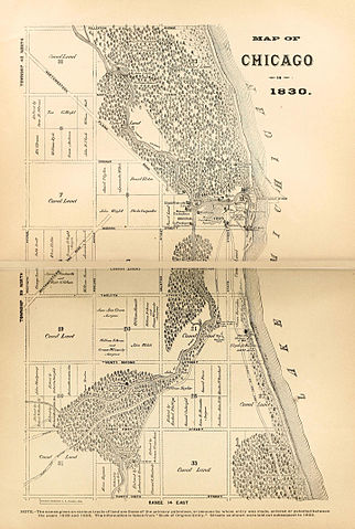
| Description | 1830 map of Chicago | ||||
| Date | published in 1884 | ||||
| Source | [1] | ||||
| Author | Copyrighted by Alfred T. Andreas | ||||
| Permission (Reusing this file) |
|
||||
File history
Click on a date/time to view the file as it appeared at that time.
| Date/Time | Thumbnail | Dimensions | User | Comment | |
|---|---|---|---|---|---|
| current | 19:01, 12 November 2015 | | 3,194 × 4,753 (3.22 MB) | Scewing (talk | contribs) | {{Information |Description=1830 map of Chicago |Source=[https://archive.org/stream/historyofchicago01inandr#page/n127/mode/2up] |Date=undated |Author=unattributed |Permission={{PD-old}} |other_versions= }} Category:Chicago in the 1830s [[Category:1... |
You cannot overwrite this file.
File usage on Commons
There are no pages that use this file.
File usage on other wikis
The following other wikis use this file:
- Usage on ar.wikipedia.org
- Usage on en.wikipedia.org
- Usage on en.wikibooks.org