File:1823 Map of Alabama and Georgia counties.jpeg
Jump to navigation
Jump to search

Size of this preview: 774 × 600 pixels. Other resolutions: 310 × 240 pixels | 620 × 480 pixels | 991 × 768 pixels | 1,280 × 992 pixels | 2,560 × 1,984 pixels | 5,732 × 4,442 pixels.
Original file (5,732 × 4,442 pixels, file size: 2.49 MB, MIME type: image/jpeg)
Captions
Captions
Add a one-line explanation of what this file represents
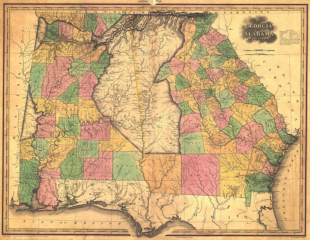
| Description | "Georgia and Alabama", showing county boundaries & Native territories | |||||||||||||||||||
| Date | ||||||||||||||||||||
| Source | Historical Maps of Alabama collection, University of Alabama Department of Geography | |||||||||||||||||||
| Author |
|
|||||||||||||||||||
| Permission (Reusing this file) |
|
|||||||||||||||||||
| Other versions | ||||||||||||||||||||
_Indian_territory_map_within_the_1823_Map_of_Alabama_and_Georgia_counties_(cropped).jpeg)
File history
Click on a date/time to view the file as it appeared at that time.
| Date/Time | Thumbnail | Dimensions | User | Comment | |
|---|---|---|---|---|---|
| current | 22:00, 29 June 2009 | | 5,732 × 4,442 (2.49 MB) | Spyder Monkey (talk | contribs) | {{Information |Description="Georgia and Alabama", showing county boundaries & Native territories |Source=[http://alabamamaps.ua.edu/historicalmaps/alabama/before1825.html Historical Maps of Alabama collection], University of Alabama Department of Geograph |
You cannot overwrite this file.
File usage on Commons
The following page uses this file:
File usage on other wikis
The following other wikis use this file:
- Usage on ru.wikipedia.org