File:1813 Map of the Rapids of Miami, showing Fort Meigs.jpg
Jump to navigation
Jump to search

Size of this preview: 800 × 533 pixels. Other resolutions: 320 × 213 pixels | 640 × 426 pixels | 1,024 × 682 pixels | 1,397 × 930 pixels.
Original file (1,397 × 930 pixels, file size: 193 KB, MIME type: image/jpeg)
Captions
Captions
Add a one-line explanation of what this file represents
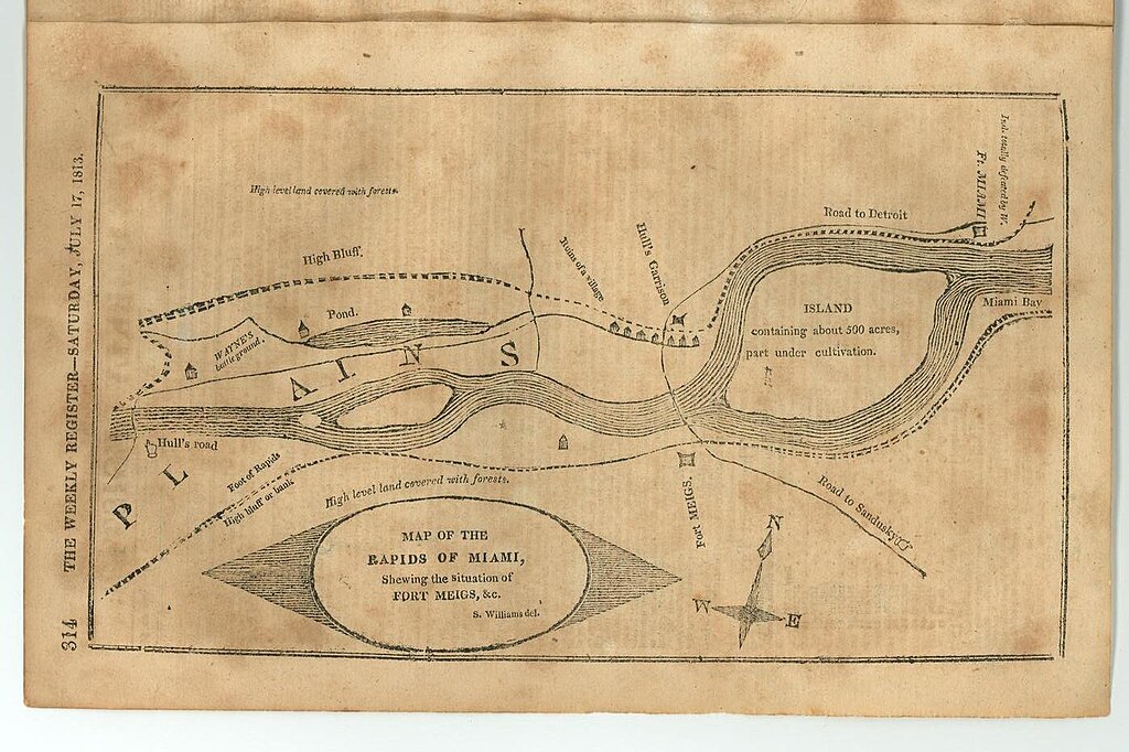
| Description | Map of the Rapids of Miami, shewing the situation of Fort Meigs & c. | ||||
| Date | |||||
| Source | The Weekly Register (Baltimore, Md.), Volume 4, Number 20, Saturday, July 17, 1813 | ||||
| Author | S. William | ||||
| Permission (Reusing this file) |
|
||||
| Other versions | [1] | ||||
| Annotations | This image is annotated: View the annotations at Commons |
File history
Click on a date/time to view the file as it appeared at that time.
| Date/Time | Thumbnail | Dimensions | User | Comment | |
|---|---|---|---|---|---|
| current | 05:34, 24 April 2015 | | 1,397 × 930 (193 KB) | Scewing (talk | contribs) | {{Information |Description=Map of the Rapids of Miami, shewing the situation of Fort Meigs & c. |Source=The Weekly Register (Baltimore, Md.), Volume 4, Number 20, Saturday, July 17, 1813 |Date=1813 |Author=S. William |Permission={{PD-old}} |other_versi... |
You cannot overwrite this file.
File usage on Commons
The following page uses this file:
- File:Map of the Rapids of Miami, showing Fort Meigs, 1813.jpg (file redirect)