This is a Quality image. Click here for more information.

File:14-05-06-budapest-RalfR-14.jpg

From Wikimedia Commons, the free media repository
Jump to navigation Jump to search

Original file(4,912 × 4,912 pixels, file size: 15.18 MB, MIME type: image/jpeg)

Captions

Captions

Add a one-line explanation of what this file represents
Description
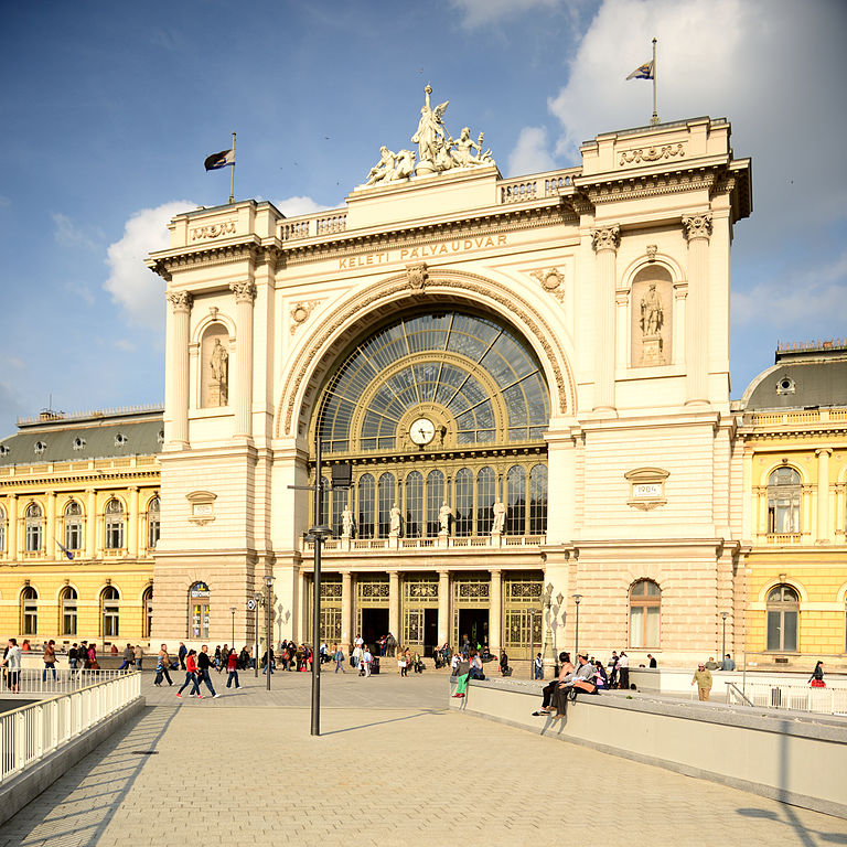
Deutsch: Budapest Bahnhof Keleti pályaudvar
Magyar: Budapest Keleti pályaudvar

This is a photo of a monument in Hungary. Identifier: 18151

English: Budapest Keleti railway station, main portal
Date Taken on 6 May 2014, 17:16:29
Source Own work
Author

© Ralf Roletschek - Fahrradtechnik und Fotografie

Permission
(Reusing this file)

Dieses Foto ist von Ralf Roletschek

Achtung: Dieses Bild ist nicht gemeinfrei. Es ist zwar frei benutzbar aber gesetzlich geschützt.

This photo was created by Ralf Roletschek

Note: this image is not in the Public Domain. It is free to use but protected by law.

Bitte benutzen sie nach Möglichkeit als Bildbeschreibung:

Ralf Roletschek / Fahrradmonteur.de

in unmittelbarer Nähe beim Bild oder an einer Stelle in ihrer Publikation, wo dies üblich ist. Dabei muß der Zusammenhang zwischen Bild und Urhebernennung gewahrt bleiben.

Ein Link zu meiner Homepage ist erwünscht aber nicht Bedingung.

I prefer the following credit:

Ralf Roletschek / Fahrradmonteur.de

near to the photo or at a location that is common in your publication but preserving the association between image and credit.

A link to my website is much appreciated but not mandatory.

Bitte lesen sie den vollen Lizenztext gründlich, bevor sie das Bild nutzen! Wenn sie Fragen zu den Lizenzvereinbarungen haben oder weniger restriktive kommerzielle Lizenzen wünschen, kontaktieren sie mich per Mail: ralf@roletschek.de

Please review the full license requirements carefully before using this image. If you would like to clarify the terms of the license or negotiate less restrictive commercial licensing outside of the bounds of Licenses, please contact me by email: ralf@roletschek.de

Camera location47° 30′ 00.99″ N, 19° 04′ 55.24″ E  Heading=45.34° Kartographer map based on OpenStreetMap.View this and other nearby images on: OpenStreetMapinfo
GNU head Permission is granted to copy, distribute and/or modify this document under the terms of the GNU Free Documentation License, Version 1.2 only as published by the Free Software Foundation; with no Invariant Sections, no Front-Cover Texts, and no Back-Cover Texts. A copy of the license is included in the section entitled GNU Free Documentation License. 1.2 only
Licence Art Libre Copyleft: This work of art is free; you can redistribute it and/or modify it according to terms of the Free Art License. You will find a specimen of this license on the Copyleft Attitude site as well as on other sites.

This image has been assessed using the Quality image guidelines and is considered a Quality image.

العربية  جازايرية  беларуская  беларуская (тарашкевіца)  български  বাংলা  català  čeština  Cymraeg  Deutsch  Schweizer Hochdeutsch  Zazaki  Ελληνικά  English  Esperanto  español  eesti  euskara  فارسی  suomi  français  galego  עברית  हिन्दी  hrvatski  magyar  հայերեն  Bahasa Indonesia  italiano  日本語  Jawa  ქართული  한국어  kurdî  Lëtzebuergesch  lietuvių  македонски  മലയാളം  मराठी  Bahasa Melayu  Nederlands  Norfuk / Pitkern  polski  português  português do Brasil  rumantsch  română  русский  sicilianu  slovenčina  slovenščina  shqip  српски / srpski  svenska  தமிழ்  తెలుగు  ไทย  Tagalog  Türkçe  toki pona  українська  vèneto  Tiếng Việt  中文  中文(简体)  中文(繁體)  +/−

File history

Click on a date/time to view the file as it appeared at that time.

Date/TimeThumbnailDimensionsUserComment
current16:09, 15 May 2014Thumbnail for version as of 16:09, 15 May 20144,912 × 4,912 (15.18 MB)Fahrradmonteur.de (talk | contribs)

File usage on other wikis

The following other wikis use this file:

Metadata