File:09681jfSan Rafael Bulacan Chapel Diliman Paddy Vegetable Fields Roadsfvf 05.JPG
Jump to navigation
Jump to search

Size of this preview: 800 × 600 pixels. Other resolutions: 320 × 240 pixels | 640 × 480 pixels | 1,024 × 768 pixels | 1,280 × 960 pixels | 2,560 × 1,920 pixels | 4,608 × 3,456 pixels.
Original file (4,608 × 3,456 pixels, file size: 6.93 MB, MIME type: image/jpeg)
Captions
Captions
Add a one-line explanation of what this file represents
Summary[edit]
| Description |
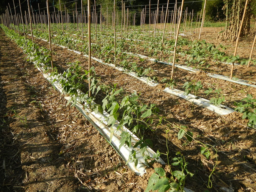
English: Landscape of Vegetable plantations (Diliman I and Diliman II, San Rafael, Bulacan village) Vigna unguiculata subsp. sesquipedalis in in Barangays Diliman I, and Diliman II, San Rafael, Bulacan Province surrounded by the Maasim River undergoing Slope Protection by the DPWH, connecting with the Malaangan River in Upig and Casalat, San Ildefonso, Bulacan both parts of Angat River gateway and interconnecting with Barangay Galas-Maasim, San Rafael, Bulacan beside Barangay Maasim, Maasim Bridge 2 (San Rafael, Bulacan), San Ildefonso, Bulacan Bulacan Province upon Angat River along San Rafael, Bulacan and Angat River along San Ildefonso, Bulacan, beside the San Ildefonso Border Arch in Bulacan (from San Rafael, Bulacan) along Maharlika Highway (Cagayan Valley Road, San Rafael-San Ildefonso, Bulacan section) of the Pan-Philippine Highway, also known as the Maharlika "Nobility/freeman" Highway or Asian Highway 26, Cagayan Valley Road). |
| Date | |
| Source | Own work |
| Author | Judgefloro |
Licensing[edit]
| I, the copyright holder of this work, release this work into the public domain. This applies worldwide. In some countries this may not be legally possible; if so: I grant anyone the right to use this work for any purpose, without any conditions, unless such conditions are required by law. |
File history
Click on a date/time to view the file as it appeared at that time.
| Date/Time | Thumbnail | Dimensions | User | Comment | |
|---|---|---|---|---|---|
| current | 18:38, 26 February 2016 | | 4,608 × 3,456 (6.93 MB) | Judgefloro (talk | contribs) | User created page with UploadWizard |
You cannot overwrite this file.
File usage on Commons
There are no pages that use this file.