File:(update) Stage 18 Pinerolo → Col du Galibier - Serre Chevalier, 201 km (Mountain) came through Château-Queyras (3877432443).jpg

Original file (3,456 × 2,704 pixels, file size: 4.29 MB, MIME type: image/jpeg)
Captions
Captions
Summary[edit]
_Stage_18_Pinerolo_%E2%86%92_Col_du_Galibier_-_Serre_Chevalier,_201_km_(Mountain)_came_through_Ch%C3%A2teau-Queyras_(3877432443).jpg&action=edit§ion=1)
| Description |
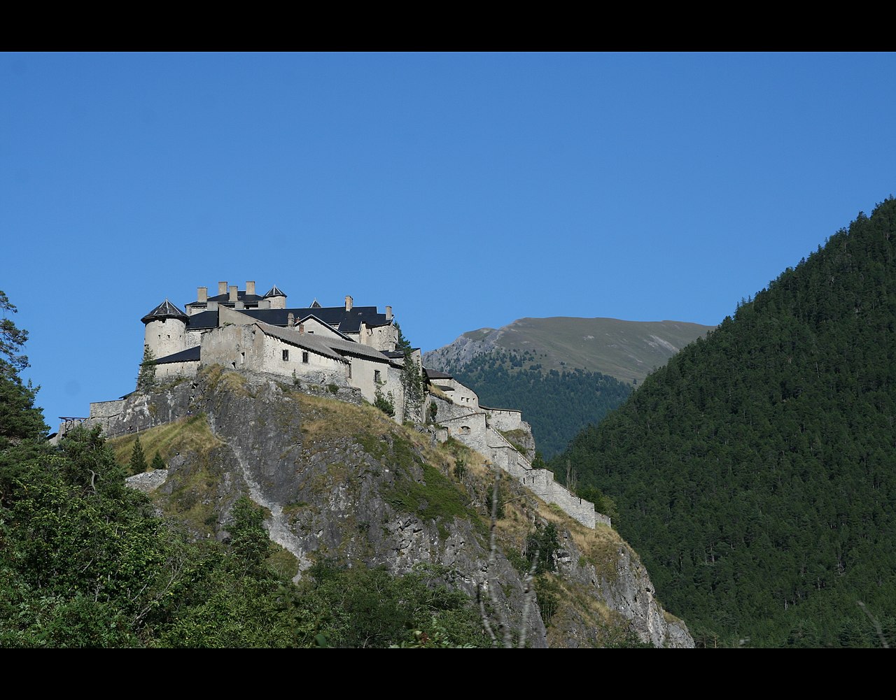
Château-Ville-Vieille is a commune in the Hautes-Alpes department in southeastern France
|
| Date | |
| Source | (update) Stage 18 Pinerolo → Col du Galibier - Serre Chevalier, 201 km (Mountain) came through Château-Queyras |
| Author | troye owens from Troyeseffigy, the bully |
| Object location | | View this and other nearby images on: OpenStreetMap |
|---|
_Stage_18_Pinerolo_%E2%86%92_Col_du_Galibier_-_Serre_Chevalier,_201_km_(Mountain)_came_through_Ch%C3%A2teau-Queyras_(3877432443).jpg¶ms=044.755639_N_0006.789583_E_globe:Earth_class:object_type:object_region:FR-05_&language=en)
|
This building is inscrit au titre des monuments historiques de la France. It is indexed in the base Mérimée, a database of architectural heritage maintained by the French Ministry of Culture, under the reference PA00080549
|
Licensing[edit]
_Stage_18_Pinerolo_%E2%86%92_Col_du_Galibier_-_Serre_Chevalier,_201_km_(Mountain)_came_through_Ch%C3%A2teau-Queyras_(3877432443).jpg&action=edit§ion=2)
- You are free:
- to share – to copy, distribute and transmit the work
- to remix – to adapt the work
- Under the following conditions:
- attribution – You must give appropriate credit, provide a link to the license, and indicate if changes were made. You may do so in any reasonable manner, but not in any way that suggests the licensor endorses you or your use.
- share alike – If you remix, transform, or build upon the material, you must distribute your contributions under the same or compatible license as the original.
| This image was originally posted to Flickr by ©HTO3 at https://flickr.com/photos/33534994@N00/3877432443. It was reviewed on 18 February 2021 by FlickreviewR 2 and was confirmed to be licensed under the terms of the cc-by-sa-2.0. |
File history
Click on a date/time to view the file as it appeared at that time.
| Date/Time | Thumbnail | Dimensions | User | Comment | |
|---|---|---|---|---|---|
| current | 19:36, 18 February 2021 | | 3,456 × 2,704 (4.29 MB) | Matlin (talk | contribs) | Transferred from Flickr via #flickr2commons |
You cannot overwrite this file.
File usage on Commons
There are no pages that use this file.
_Stage_18_Pinerolo_→_Col_du_Galibier_-_Serre_Chevalier,_201_km_(Mountain)_came_through_Château-Queyras_(3877432443).jpg&oldid=734454412)