File:(Coast of Maine from Salter Island to Portland Head. LOC 75693431.jpg
Jump to navigation
Jump to search

Size of this preview: 800 × 562 pixels. Other resolutions: 320 × 225 pixels | 640 × 450 pixels | 1,024 × 719 pixels | 1,280 × 899 pixels | 2,560 × 1,798 pixels | 12,918 × 9,073 pixels.
Original file (12,918 × 9,073 pixels, file size: 17.59 MB, MIME type: image/jpeg)
Captions
Captions
Add a one-line explanation of what this file represents
Summary[edit]
| Warning | The original file is very high-resolution. It might not load properly or could cause your browser to freeze when opened at full size. |
|---|
| Description |
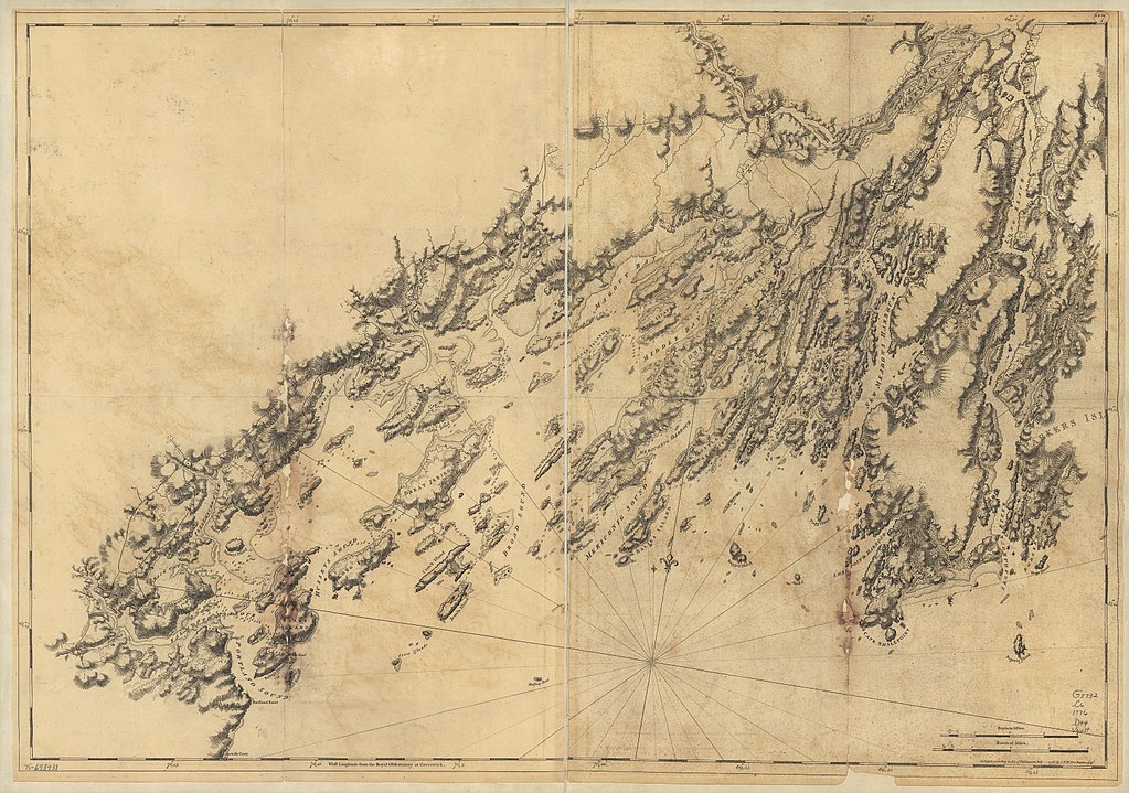
English: Scale ca. 1:48,000. Relief shown by hachures and shading. Soundings shown in feet. LC copy imperfect: Deterioration along folds. LC Maps of North America, 1750-1789, 856 Available also through the Library of Congress Web site as a raster image. Vault AACR2 |
||
| Title | [Coast of Maine from Salter Island to Portland Head. | ||
| Shelf ID | G3732.C6 1776 .D44 | ||
| Date | |||
| Source | https://www.loc.gov/item/75693431/ | ||
| Author | Des Barres, Joseph F. W. (Joseph Frederick Wallet); Des Barres, Joseph F. W. | ||
| Permission (Reusing this file) |
|
||
| Other versions |
|
||
| Location | Atlantic Coast · United States · Maine | ||
| Part of | Military Battles And Campaigns · American Memory · Catalog · Geography And Map Division · American Revolution And Its Era: Maps And Charts Of North America And The West Indies, 1750-1789 | ||
| Subject | Atlantic Coast (Me.) · Coasts · Nautical Charts · United States · Maps · Early Works To 1800 · Atlantic Coast · Maine |


Licensing[edit]
|
This is a faithful photographic reproduction of a two-dimensional, public domain work of art. The work of art itself is in the public domain for the following reason:
The official position taken by the Wikimedia Foundation is that "faithful reproductions of two-dimensional public domain works of art are public domain".
This photographic reproduction is therefore also considered to be in the public domain in the United States. In other jurisdictions, re-use of this content may be restricted; see Reuse of PD-Art photographs for details. | ||||
File history
Click on a date/time to view the file as it appeared at that time.
| Date/Time | Thumbnail | Dimensions | User | Comment | |
|---|---|---|---|---|---|
| current | 22:28, 4 June 2018 | | 12,918 × 9,073 (17.59 MB) | Fæ (talk | contribs) | LOC Maps https://www.loc.gov/item/75693431/ #20135 |
You cannot overwrite this file.
File usage on Commons
The following page uses this file: