File:(Castres) Cathédrale Saint-Benoît vue de la cour du Palais épiscopal.jpg
Jump to navigation
Jump to search
Size of this preview: 512 × 600 pixels. Other resolutions: 205 × 240 pixels | 410 × 480 pixels | 656 × 768 pixels | 874 × 1,024 pixels | 1,749 × 2,048 pixels | 5,100 × 5,973 pixels.
Original file (5,100 × 5,973 pixels, file size: 10.83 MB, MIME type: image/jpeg)
Captions
Captions
Add a one-line explanation of what this file represents
Summary[edit]
|
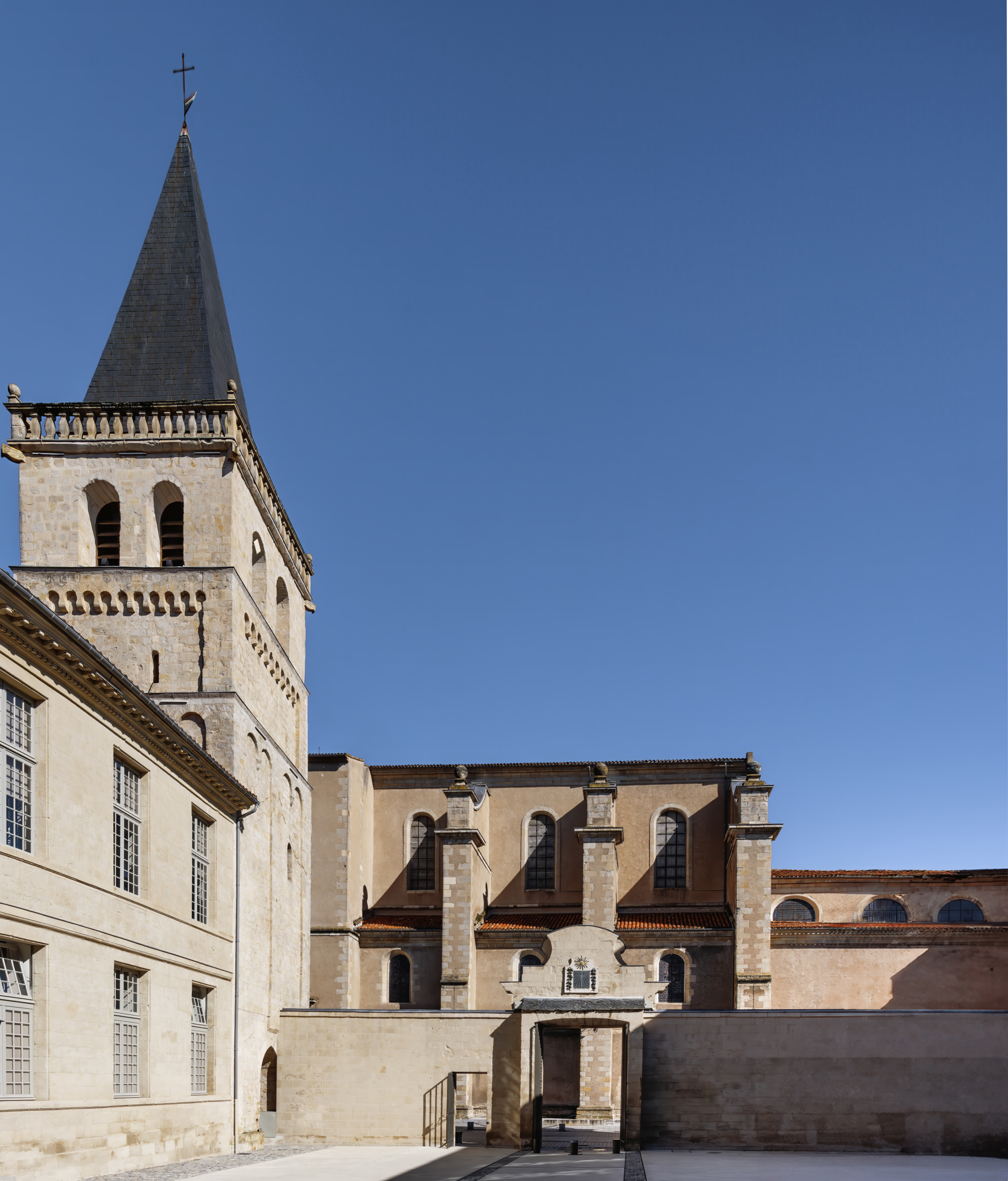
Tour de l'ancienne abbaye bénédictine - clocher de la Cathédrale Saint-Benoît | |||||||||||||||||||||||||||||||||
|
| |||||||||||||||||||||||||||||||||


_Cath%C3%A9drale_Saint-Beno%C3%AEt_vue_de_la_cour_du_Palais_%C3%A9piscopal.jpg&action=edit§ion=1)
_Cath%C3%A9drale_Saint-Beno%C3%AEt_vue_de_la_cour_du_Palais_%C3%A9piscopal.jpg)
_Cath%C3%A9drale_Saint-Beno%C3%AEt_vue_de_la_cour_du_Palais_%C3%A9piscopal.jpg¶ms=043.603529_N_0002.241875_E_globe:Earth_class:object_type:object__&language=en)
File history
Click on a date/time to view the file as it appeared at that time.
| Date/Time | Thumbnail | Dimensions | User | Comment | |
|---|---|---|---|---|---|
| current | 04:46, 5 May 2024 | | 5,100 × 5,973 (10.83 MB) | Archaeodontosaurus (talk | contribs) | correction |
| 08:55, 31 March 2024 |  | 5,100 × 5,509 (12.59 MB) | Archaeodontosaurus (talk | contribs) | {{Information |Description= |Source={{own}} |Date= |Author= Archaeodontosaurus |Permission= |other_versions= }} |
You cannot overwrite this file.
File usage on Commons
The following 3 pages use this file:
File usage on other wikis
The following other wikis use this file:
- Usage on fr.wikipedia.org
_Cathédrale_Saint-Benoît_vue_de_la_cour_du_Palais_épiscopal.jpg&oldid=874545239)