File:(Blagnac) Église Saint-Pierre - Le maître autel.jpg
Jump to navigation
Jump to search

Size of this preview: 800 × 536 pixels. Other resolutions: 320 × 214 pixels | 640 × 429 pixels | 1,024 × 686 pixels | 1,280 × 858 pixels | 2,560 × 1,716 pixels | 7,216 × 4,836 pixels.
Original file (7,216 × 4,836 pixels, file size: 19.31 MB, MIME type: image/jpeg)
Captions
Captions
Add a one-line explanation of what this file represents
Summary[edit]
|
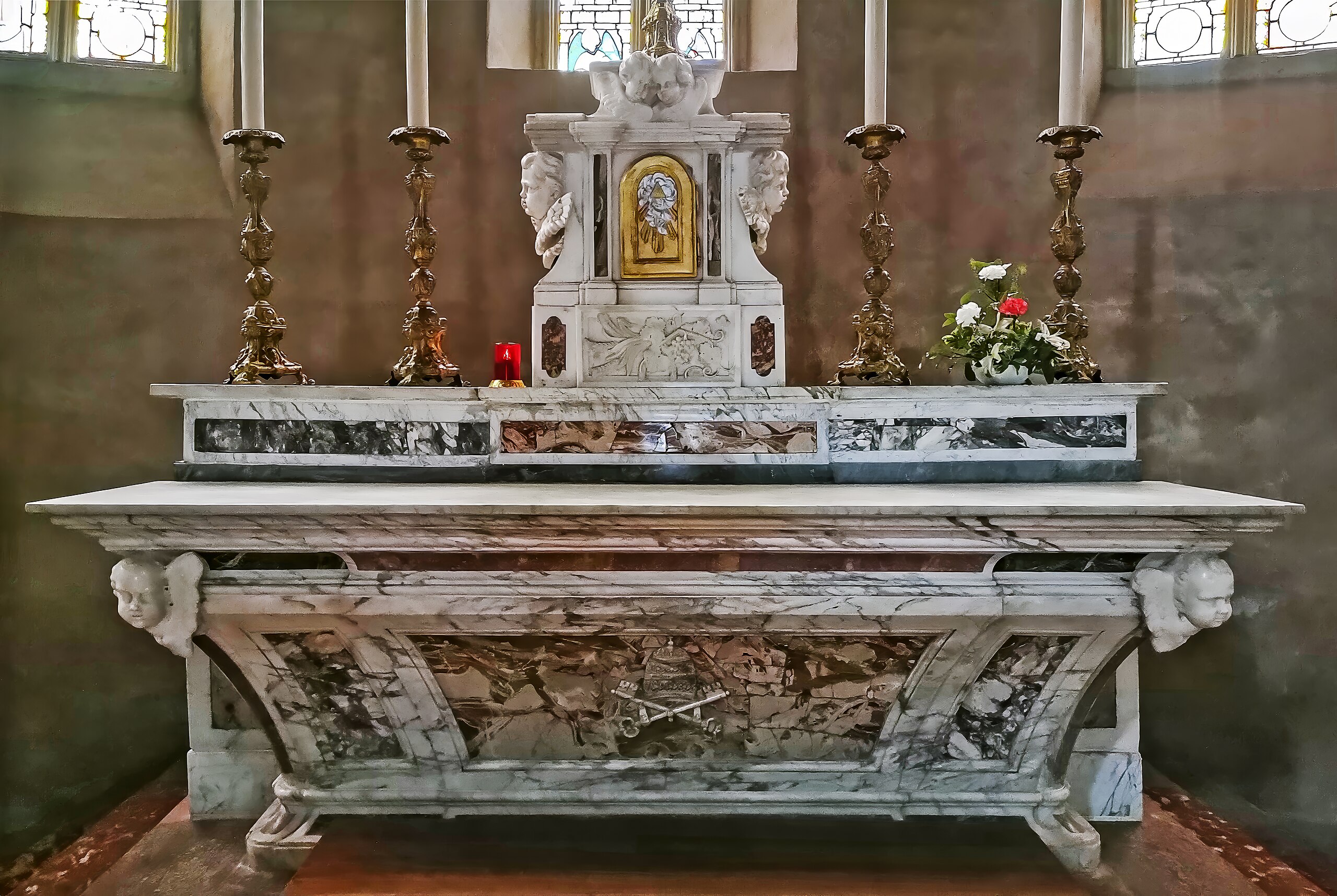
Église Saint-Pierre de Blagnac, France - Le maître autel (The main altar) | |||||||||||||||||||||||||||||||
| |||||||||||||||||||||||||||||||

_%C3%89glise_Saint-Pierre_-_Monument_aux_morts_de_la_Paroisse.jpg)
_%C3%89glise_Saint-Pierre_-_La_nef_et_le_choeur.jpg)
_%C3%89glise_Saint-Pierre_-_Le_ma%C3%AEtre_autel.jpg)
_%C3%89glise_Saint-Pierre_-_Le_ma%C3%AEtre_autel.jpg&action=edit§ion=1)
_%C3%89glise_Saint-Pierre_-_Le_ma%C3%AEtre_autel.jpg¶ms=043.634200_N_0001.399210_E_globe:Earth_class:object_type:object__&language=en)
File history
Click on a date/time to view the file as it appeared at that time.
| Date/Time | Thumbnail | Dimensions | User | Comment | |
|---|---|---|---|---|---|
| current | 06:25, 13 April 2024 | | 7,216 × 4,836 (19.31 MB) | Archaeodontosaurus (talk | contribs) | {{Information |Description= |Source={{own}} |Date= |Author= Archaeodontosaurus |Permission= |other_versions= }} |
You cannot overwrite this file.
File usage on Commons
The following 3 pages use this file:
File usage on other wikis
The following other wikis use this file:
- Usage on fr.wikipedia.org
_Église_Saint-Pierre_-_Le_maître_autel.jpg&oldid=873008607)