File:(Albi) La Vermicellerie vue du Vieux Pont.jpg
Jump to navigation
Jump to search

Size of this preview: 800 × 433 pixels. Other resolutions: 320 × 173 pixels | 640 × 346 pixels | 1,024 × 554 pixels | 1,280 × 693 pixels | 2,560 × 1,385 pixels | 6,434 × 3,482 pixels.
Original file (6,434 × 3,482 pixels, file size: 13.72 MB, MIME type: image/jpeg)
Captions
Captions
Add a one-line explanation of what this file represents
Summary[edit]
|
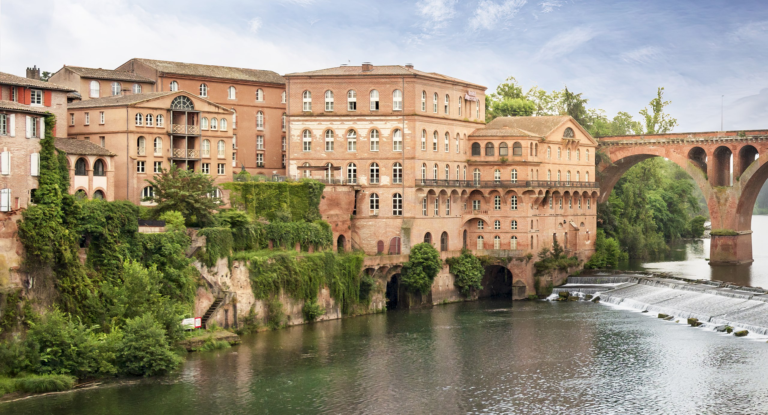
La vermicellerie et le pont neuf, exposition sud-ouest (Albi mills and pont neuf southwest exposure) | ||||||||||||||||||
|
Summary[edit]
| ||||||||||||||||||

| Annotations | This image is annotated: View the annotations at Commons |
_La_vermicellerie_et_le_pont_neuf,_exposition_ouest,_vue_du_jardin._M%C3%A9rim%C3%A9ePA00095483.jpg)
_La_Vermicellerie_vue_du_Vieux_Pont.jpg&action=edit§ion=1)
_La_Vermicellerie_vue_du_Vieux_Pont.jpg)
_La_Vermicellerie_vue_du_Vieux_Pont.jpg&action=edit§ion=2)
_La_Vermicellerie_vue_du_Vieux_Pont.jpg¶ms=043.932734_N_0002.145977_E_globe:Earth_class:object_type:object__&language=en)
_La_Vermicellerie_vue_du_Vieux_Pont.jpg)
File history
Click on a date/time to view the file as it appeared at that time.
| Date/Time | Thumbnail | Dimensions | User | Comment | |
|---|---|---|---|---|---|
| current | 05:35, 30 October 2021 | | 6,434 × 3,482 (13.72 MB) | Archaeodontosaurus (talk | contribs) | {{Information |Description= |Source={{own}} |Date= |Author= Archaeodontosaurus |Permission= |other_versions= }} |
You cannot overwrite this file.
File usage on Commons
The following 4 pages use this file:
File usage on other wikis
The following other wikis use this file:
- Usage on ca.wikipedia.org
- Usage on de.wikipedia.org
- Usage on fr.wikipedia.org
- Usage on it.wikivoyage.org
_La_Vermicellerie_vue_du_Vieux_Pont.jpg&oldid=809923130)