File:巡道工出品 photo by Xundaogong 북부선(혜산만포청년선) 北部線(惠山滿浦靑年線)ほくぶせん(けいさんまんぽせいねんせん) Pukpu Line (Hyesan Manpho Cho - panoramio (1).jpg
Jump to navigation
Jump to search
Size of this preview: 800 × 434 pixels. Other resolutions: 320 × 174 pixels | 640 × 348 pixels | 1,024 × 556 pixels | 1,280 × 695 pixels | 2,000 × 1,086 pixels.
Original file (2,000 × 1,086 pixels, file size: 838 KB, MIME type: image/jpeg)
Captions
Captions
Add a one-line explanation of what this file represents
Summary[edit]
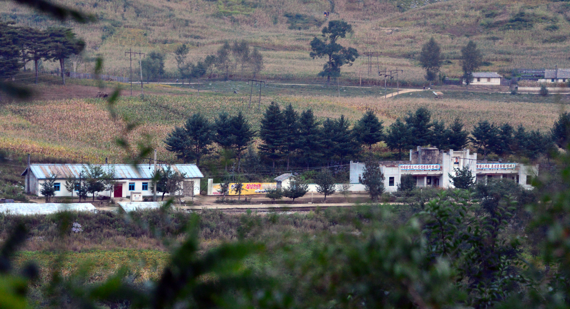
| Description | 巡道工出品 photo by Xundaogong 북부선(혜산만포청년선) 北部線(惠山滿浦靑年線)ほくぶせん(けいさんまんぽせいねんせん) Pukpu Line (Hyesan Manpho Chongnyon Line) 江下駅강하역Kangha | ||
| Date | Taken on 17 September 2012 | ||
| Source | https://web.archive.org/web/20161030080305/http://www.panoramio.com/photo/100178098 | ||
| Author | xue siyang (df45086) | ||
| Permission (Reusing this file) |
This file is licensed under the Creative Commons Attribution-Share Alike 3.0 Unported license. Attribution: xue siyang (df45086)
|
||
| Tags (from Panoramio photo page) | Baishan Shi, 2013, Chagang-do, changbai, china, DPRK, jilin, railway, Yanggang-do, 两江道, 中朝边境, 临江, 慈江道, 朝鲜, 朝鲜族, 火车, 铁路, 鸭绿江, 량강도 양강도, 온성군, 자강도, 함경북도, 회령시 |
| Camera location | | View this and other nearby images on: OpenStreetMap |
|---|

.jpg&action=edit§ion=1)
.jpg¶ms=041.416728_N_0127.679586_E_globe:Earth_type:camera_source:Panoramio_&language=en)
.jpg&action=edit&withJS=MediaWiki:Catcheck.js)
File history
Click on a date/time to view the file as it appeared at that time.
| Date/Time | Thumbnail | Dimensions | User | Comment | |
|---|---|---|---|---|---|
| current | 02:06, 8 March 2017 | | 2,000 × 1,086 (838 KB) | Panoramio upload bot (talk | contribs) | == {{int:filedesc}} == {{Information |description=巡道工出品 photo by Xundaogong 북부선(혜산만포청년선) 北部線(惠山滿浦靑年線)ほくぶせん(けいさんまんぽせいねんせん) Pukpu Line (Hyesan Manpho Chongn... |
You cannot overwrite this file.
File usage on Commons
There are no pages that use this file.
File usage on other wikis
The following other wikis use this file:
- Usage on en.wikipedia.org
_北部線(惠山滿浦靑年線)ほくぶせん(けいさんまんぽせいねんせん)_Pukpu_Line_(Hyesan_Manpho_Cho_-_panoramio_(1).jpg&oldid=754413963)