File:南国市.png
Jump to navigation
Jump to search
No higher resolution available.
南国市.png (340 × 230 pixels, file size: 7 KB, MIME type: image/png)
Captions
Captions
Add a one-line explanation of what this file represents
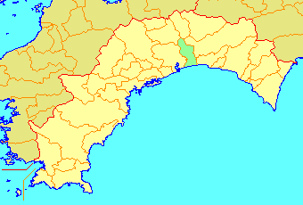
南国市位置図 投稿者により作成
| This file is licensed under the Creative Commons Attribution-Share Alike 3.0 Unported license. Subject to disclaimers. | ||
| ||
| This licensing tag was added to this file as part of the GFDL licensing update. |

|
Permission is granted to copy, distribute and/or modify this document under the terms of the GNU Free Documentation License, Version 1.2 or any later version published by the Free Software Foundation; with no Invariant Sections, no Front-Cover Texts, and no Back-Cover Texts. A copy of the license is included in the section entitled GNU Free Documentation License. Subject to disclaimers. |
File history
Click on a date/time to view the file as it appeared at that time.
| Date/Time | Thumbnail | Dimensions | User | Comment | |
|---|---|---|---|---|---|
| current | 10:54, 21 March 2006 | | 340 × 230 (7 KB) | Maglev111~jawiki (talk | contribs) | 市町村合併による境界線の変更のため。 |
| 13:16, 13 September 2004 |  | 340 × 230 (9 KB) | Reggaeman (talk | contribs) | 南国市位置図 |
You cannot overwrite this file.
File usage on Commons
There are no pages that use this file.