File:צינור הנפט סומד.png
Jump to navigation
Jump to search

Size of this preview: 768 × 600 pixels. Other resolutions: 307 × 240 pixels | 615 × 480 pixels | 984 × 768 pixels | 1,205 × 941 pixels.
Original file (1,205 × 941 pixels, file size: 123 KB, MIME type: image/png)
Captions
Captions
Add a one-line explanation of what this file represents
Summary[edit]
| Description |
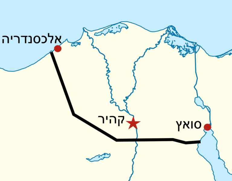
Deutsch: Positionskarte von Ägypten Quadratische Plattkarte, N-S-Streckung 111,8685 %. Geographische Begrenzung der Karte: * N: 32.1° N * S: 21.3° N * W: 24.2° O * O: 37.3° O English: Location map of Egypt Equirectangular projection, N/S stretching 111.8685 %. Geographic limits of the map: * N: 32.1° N * S: 21.3° N * W: 24.2° E * E: 37.3° E |
| Date | (UTC) |
| Source |
This file was derived from: Egypt location map.svg: |
| Author |
|
| Other versions | Derivative works of this file: Sumed pipeline.png |
| This is a retouched picture, which means that it has been digitally altered from its original version. Modifications: צינור הנפט סומד. The original can be viewed here: Egypt location map.svg:
|
Licensing[edit]
I, the copyright holder of this work, hereby publish it under the following licenses:
This file is licensed under the Creative Commons Attribution-Share Alike 3.0 Unported license.
- You are free:
- to share – to copy, distribute and transmit the work
- to remix – to adapt the work
- Under the following conditions:
- attribution – You must give appropriate credit, provide a link to the license, and indicate if changes were made. You may do so in any reasonable manner, but not in any way that suggests the licensor endorses you or your use.
- share alike – If you remix, transform, or build upon the material, you must distribute your contributions under the same or compatible license as the original.

|
Permission is granted to copy, distribute and/or modify this document under the terms of the GNU Free Documentation License, Version 1.2 or any later version published by the Free Software Foundation; with no Invariant Sections, no Front-Cover Texts, and no Back-Cover Texts. A copy of the license is included in the section entitled GNU Free Documentation License. |
You may select the license of your choice.
Original upload log[edit]
This image is a derivative work of the following images:
- File:Egypt_location_map.svg licensed with Cc-by-sa-3.0, GFDL
- 2011-04-17T16:03:10Z NordNordWest 1055x973 (359140 Bytes) upd
- 2010-03-07T17:03:18Z NordNordWest 1055x973 (566369 Bytes) resize
- 2009-09-03T10:48:31Z NordNordWest 1055x956 (565065 Bytes) '
- 2009-05-23T19:10:12Z NordNordWest 1056x959 (570357 Bytes) corr
- 2008-08-10T11:12:09Z NordNordWest 1056x957 (503154 Bytes) {{Information |Description= {{de|Positionskarte von [[:de:Ägypten|Ägypten]]}} Quadratische Plattkarte, N-S-Streckung 110 %. Geographische Begrenzung der Karte: * N: 32.1° N * S: 21.3° N * W: 24.2° O * O: 37.3° O {{en|Lo
Uploaded with derivativeFX
File history
Click on a date/time to view the file as it appeared at that time.
| Date/Time | Thumbnail | Dimensions | User | Comment | |
|---|---|---|---|---|---|
| current | 13:47, 2 July 2012 | | 1,205 × 941 (123 KB) | Amirki (talk | contribs) | == {{int:filedesc}} == {{Information |Description={{de|Positionskarte von Ägypten}} Quadratische Plattkarte, N-S-Streckung 111,8685 %. Geographische Begrenzung der Karte: * N: 32.1° N * S: 21.3° N * W: 24.2° O * O: 37.3° O {{en|Lo... |
You cannot overwrite this file.
File usage on Commons
The following page uses this file:
File usage on other wikis
The following other wikis use this file:
- Usage on he.wikipedia.org