File:Тростенское озеро.jpg
Jump to navigation
Jump to search

Size of this preview: 800 × 570 pixels. Other resolutions: 320 × 228 pixels | 640 × 456 pixels | 1,024 × 730 pixels | 1,160 × 827 pixels.
Original file (1,160 × 827 pixels, file size: 256 KB, MIME type: image/jpeg)
Captions
Captions
Add a one-line explanation of what this file represents
Summary[edit]
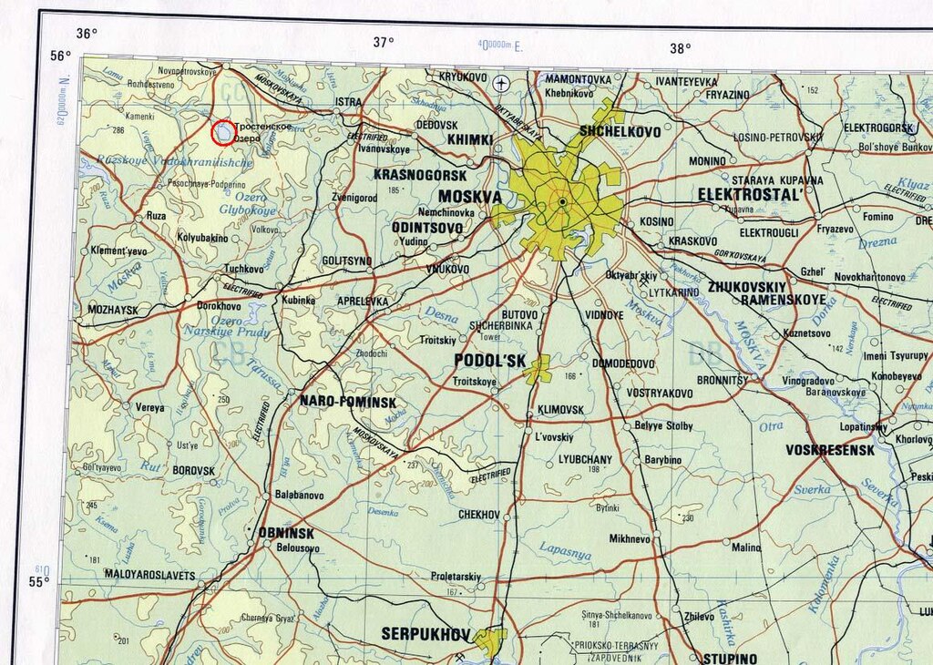
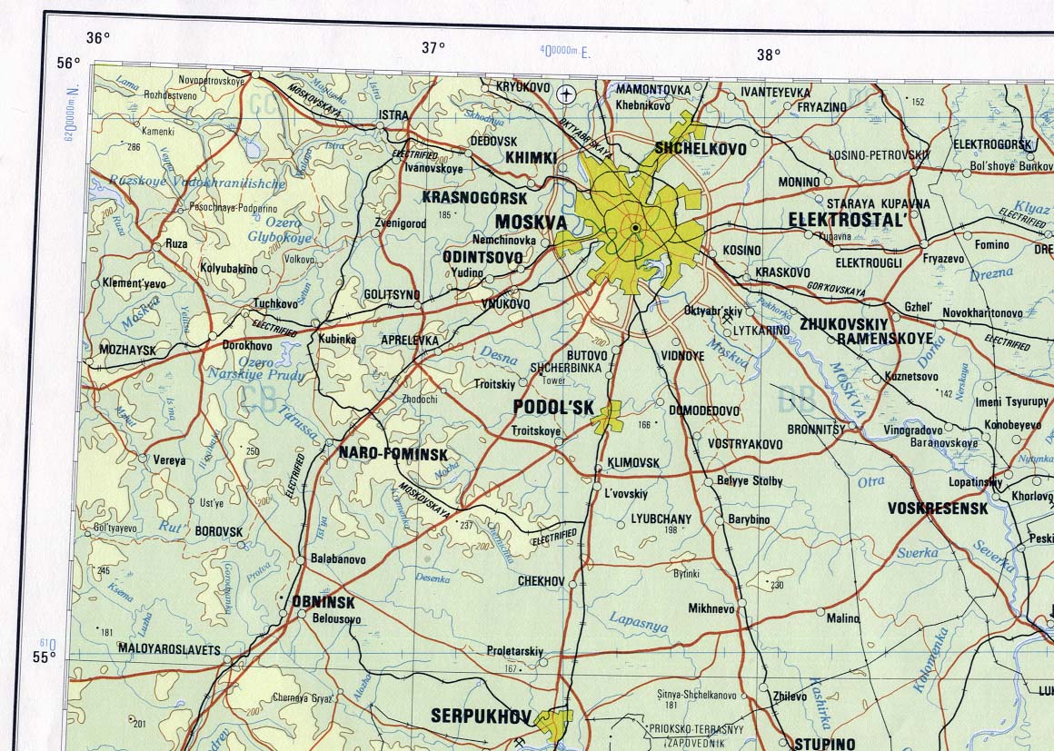
| Description | Положение Тростенского озера в Московской области |
| Date | |
| Source | http://www.lib.utexas.edu/maps/commonwealth/moskva_1978.jpg |
| Author | According to source site, "Moscow Area Portion of Moskva sheet. Topographic Map NN 37, Series 1301. Original Scale 1:1,000,000. Printed by U.S. Defense Mapping Agency Topographic Center, 1978 (296K)" (en:National Geospatial-Intelligence Agency) |
| Permission (Reusing this file) |
http://www.lib.utexas.edu/usage_statement.html |
Licensing[edit]
This image is a work of the United States National Geospatial-Intelligence Agency or one of its predecessor agencies. As a work of the U.S. federal government, the image is in the public domain.
|
 |
File history
Click on a date/time to view the file as it appeared at that time.
| Date/Time | Thumbnail | Dimensions | User | Comment | |
|---|---|---|---|---|---|
| current | 10:16, 13 November 2007 | | 1,160 × 827 (256 KB) | Garfield~commonswiki (talk | contribs) | {{Information |Description=Положение Тростенского озера в Московской области |Source=http://www.lib.utexas.edu/maps/commonwealth/moskva_1978.jpg |Date=1978 |Author= |Permission=http://www.lib.utexas.edu/usage_st |
You cannot overwrite this file.
File usage on Commons
There are no pages that use this file.
File usage on other wikis
The following other wikis use this file:
- Usage on ru.wikipedia.org