File:Île de Baffin carte.png
Jump to navigation
Jump to search
No higher resolution available.
Île_de_Baffin_carte.png (525 × 572 pixels, file size: 33 KB, MIME type: image/png)
Captions
Captions
Add a one-line explanation of what this file represents
Summary[edit]
| Description | |
| Date | 17 October 2004 (original upload date) |
| Source | Carte du domaine public créée par Online Map Creation : http://www.aquarius.geomar.de/omc/omc_intro.html |
| Author | The original uploader was Grum at French Wikipedia. |
Licensing[edit]
This file is in the public domain because it was made with a public domain mapping program here
|
Original upload log[edit]
Transferred from fr.wikipedia to Commons by Bloody-libu using CommonsHelper.
The original description page was here. All following user names refer to fr.wikipedia.
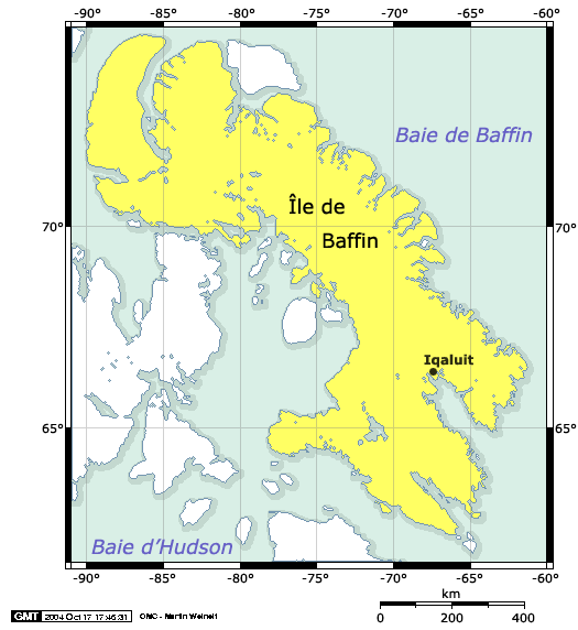
- 2004-10-17 17:33 Grum 525×572× (33879 bytes) Carte de l'[[Île de Baffin]], [[Nunavut]], [[Canada]] (projection de Mercator). Carte du domaine public créée par Online Map Creation : http://www.aquarius.geomar.de/omc/omc_intro.html
ATTENTION : mauvais positionnement de la capitale sur la carte, voir sur maps... Positionnée au Sud du 65e parallèle !
File history
Click on a date/time to view the file as it appeared at that time.
| Date/Time | Thumbnail | Dimensions | User | Comment | |
|---|---|---|---|---|---|
| current | 18:47, 4 September 2012 | | 525 × 572 (33 KB) | File Upload Bot (Magnus Manske) (talk | contribs) | Transfered from fr.wikipedia by User:Bloody-libu using CommonsHelper |
You cannot overwrite this file.
File usage on Commons
There are no pages that use this file.
File usage on other wikis
The following other wikis use this file:
- Usage on fr.wikipedia.org