File:Église Saint-Pierre-et-Saint-Paul d'Amareins - 2.JPG
From Wikimedia Commons, the free media repository
Jump to navigation
Jump to search
Size of this preview: 800 × 549 pixels. Other resolutions: 320 × 220 pixels | 640 × 439 pixels | 1,024 × 703 pixels | 1,280 × 878 pixels | 2,560 × 1,756 pixels | 3,151 × 2,162 pixels.
Original file (3,151 × 2,162 pixels, file size: 3.04 MB, MIME type: image/jpeg)
File information
Structured data
Captions
Summary[edit]
DescriptionÉglise Saint-Pierre-et-Saint-Paul d'Amareins - 2.JPG |
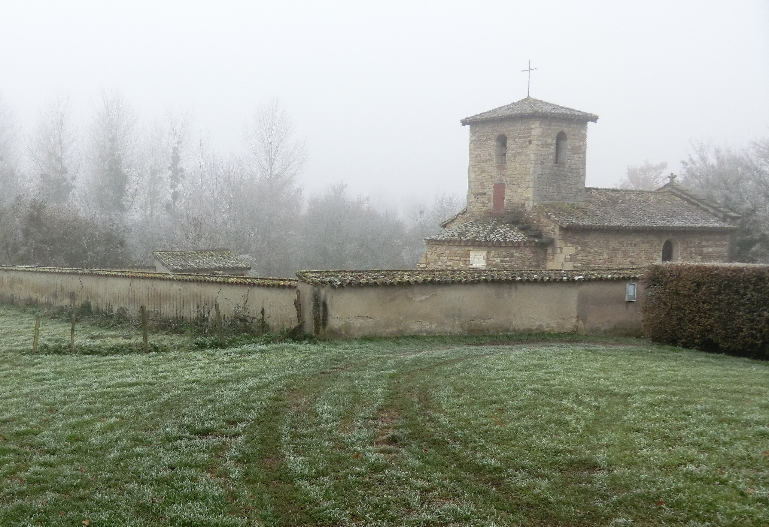
Français : Église Saint-Pierre-et-Saint-Paul d'Amareins.
|
|||||||||||||||||
Date | ||||||||||||||||||
Source | Own work | |||||||||||||||||
Author |
creator QS:P170,Q42790984 |
|||||||||||||||||
Permission (Reusing this file) |
|
Camera location | 46° 04′ 36.29″ N, 4° 47′ 41.85″ E | View this and other nearby images on: OpenStreetMap | 46.076748; 4.794957 |
---|
File history
Click on a date/time to view the file as it appeared at that time.
Date/Time | Thumbnail | Dimensions | User | Comment | |
---|---|---|---|---|---|
current | 19:02, 10 December 2013 | 3,151 × 2,162 (3.04 MB) | Benoît Prieur (talk | contribs) |
You cannot overwrite this file.
File usage on Commons
There are no pages that use this file.
Metadata
This file contains additional information such as Exif metadata which may have been added by the digital camera, scanner, or software program used to create or digitize it. If the file has been modified from its original state, some details such as the timestamp may not fully reflect those of the original file. The timestamp is only as accurate as the clock in the camera, and it may be completely wrong.
Camera manufacturer | CASIO COMPUTER CO.,LTD. |
---|---|
Camera model | EX-H20G |
Author | Picasa |
Exposure time | 1/60 sec (0.016666666666667) |
F-number | f/3.5 |
ISO speed rating | 100 |
Date and time of data generation | 16:35, 9 December 2013 |
Lens focal length | 5.2 mm |
Latitude | 46° 4′ 36.29″ N |
Longitude | 4° 47′ 41.84″ E |
Altitude | 197.4 meters above sea level |
Horizontal resolution | 72 dpi |
Vertical resolution | 72 dpi |
Software used | 1.04 |
File change date and time | 19:08, 10 December 2013 |
Y and C positioning | Co-sited |
Exposure Program | Normal program |
Exif version | 2.3 |
Date and time of digitizing | 16:35, 9 December 2013 |
Meaning of each component |
|
Image compression mode | 5.4489254686786 |
APEX exposure bias | 0 |
Maximum land aperture | 3.4 APEX (f/3.25) |
Metering mode | Pattern |
Light source | Unknown |
Flash | Flash did not fire, auto mode |
Supported Flashpix version | 1 |
Color space | sRGB |
File source | Digital still camera |
Custom image processing | Normal process |
Exposure mode | Auto exposure |
White balance | Auto white balance |
Focal length in 35 mm film | 29 mm |
Scene capture type | Standard |
Scene control | High gain up |
Contrast | Normal |
Saturation | Normal |
Sharpness | Normal |
Unique image ID | d67de23d4ae993666dd1ec0451aacb23 |
GPS time (atomic clock) | 14:44 |
Satellites used for measurement | 11 |
Receiver status | Measurement in progress |
Measurement mode | 3-dimensional measurement |
Measurement precision | Fair (1.9) |
Reference for direction of image | True direction |
Direction of image | 238 |
Geodetic survey data used | WGS-84 |
GPS date | 10 December 2013 |
GPS differential correction | 0 |
GPS tag version | 2.3.0.0 |
IIM version | 4 |
Structured data
Items portrayed in this file
depicts
46°4'36.29399"N, 4°47'41.84401"E
9 December 2013
0.01666666666666666666 second
3.5
5.2 millimetre
100
image/jpeg
87af3a515c86142f50ada2778539a84fb6d6cdd3
3,187,333 byte
2,162 pixel
3,151 pixel
Hidden categories:
- Base Mérimée
- Monuments historiques inscrits
- Mérimée with PA parameter
- Cultural heritage monuments in France with known IDs
- Cultural heritage monuments in France missing SDC depicts
- Cultural heritage monuments in France missing SDC location of creation
- CC-Zero
- Files with coordinates missing SDC location of creation
- Photographs by Benoît Prieur
- Images of Francheleins by Benoît Prieur
- France photographs taken on 2013-12-09
- 2013 images by Benoît Prieur
- Pages with maps