File:'t Zandt, Gemeenteatlas van Nederland.jpg
Jump to navigation
Jump to search
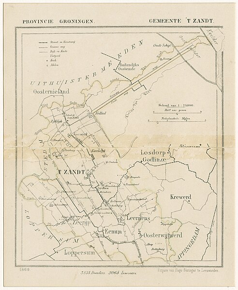
Size of this preview: 492 × 599 pixels. Other resolutions: 197 × 240 pixels | 394 × 480 pixels | 630 × 768 pixels | 840 × 1,024 pixels | 2,176 × 2,651 pixels.
Original file (2,176 × 2,651 pixels, file size: 1.7 MB, MIME type: image/jpeg)
Captions
Captions
Add a one-line explanation of what this file represents
Summary[edit]
| Description |
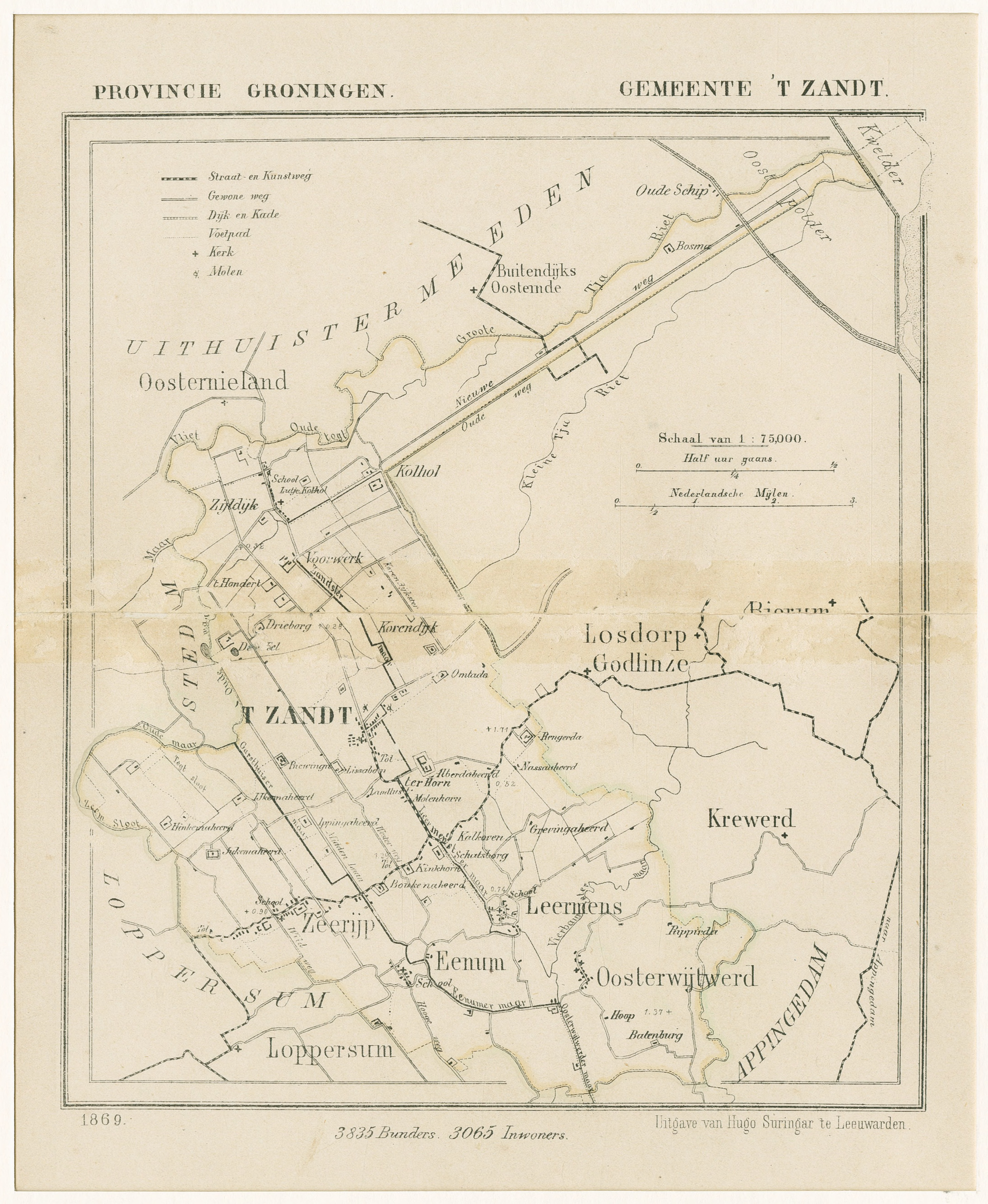
Nederlands: Nederland, Groningen, 't Zandt |
| Date | |
| Source | Gemeente Atlas van Nederland / beeldbankgroningen.nl |
| Author |
Unknown author
|
Licensing[edit]
The copyright of this image has expired in the European Union because it was published more than 70 years ago without a public claim of authorship (anonymous or pseudonymous), and no subsequent claim of authorship was made in the 70 years following its first publication.
|
 | |
To use this template, the image must meet both of the following two conditions:
Images that lack either of these two conditions should not use this template. Reasonable evidence must be presented that the author's name (e.g., the original photographer, portrait painter) was not published with a claim of copyright in conjunction with the image within 70 years of its original publication. Works which had not entered Public Domain in their country in 1996 that were uploaded before 1 March 2012 should be marked additionally with {{Not-PD-US-URAA}}. Note: In some countries anonymous works are copyrighted until 70 years after the death of the author if the author's identity became public in any way during the original term. In Germany this applies to certain works published before July 1, 1995; see Übergangsrecht.
|
File history
Click on a date/time to view the file as it appeared at that time.
| Date/Time | Thumbnail | Dimensions | User | Comment | |
|---|---|---|---|---|---|
| current | 00:23, 9 September 2023 | | 2,176 × 2,651 (1.7 MB) | Robotje (talk | contribs) | == {{int:filedesc}} == {{Information |Description={{nl|1=Nederland, Groningen, 't Zandt}} |Source=Gemeente Atlas van Nederland / [https://www.beeldbankgroningen.nl/beelden/detail/8adcfb32-b93f-aaf5-17bb-b6207b2d5c0b/media/2cfa5deb-8d8d-62e1-9bb4-0a013f099e92 beeldbankgroningen.nl] |Author={{Unknown|author}} * Publisher: Hugo Suringar, Leeuwarden. |Date=1869 |Permission= |other_versions= }} == {{int:license-header}} == {{PD-EU-no author disclosure}} Category:Maps of 't Zandt [[Category:G... |
You cannot overwrite this file.
File usage on Commons
There are no pages that use this file.