Commons:Featured picture candidates/Image:Inca road system map-en.svg
Jump to navigation
Jump to search

Image:Inca road system map-en.svg - not featured
[edit]

 Info created, uploaded and nominated by Manco Capac -- Manco Capac 12:24, 21 April 2008 (UTC)
 Support -- Manco Capac 12:24, 21 April 2008 (UTC)
- Support--Umnik 16:49, 21 April 2008 (UTC)
- Support-- Good work. --Dsmurat 15:02, 25 April 2008 (UTC)
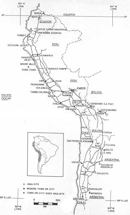
 Strong oppose graphically I don't think this map is one of the best historical maps we have in commons, this yellow is realy agressive, the paths of the lines are not always regular (see for exemple the coast line) but my strong opposition is not based on graphics aspects, this map is not historicaly correct, that's the problem, we can see that in the maps provided as sources of this creation, that the actuale en:Loreto Region is not included in the Inca empire, but it is on this map and I'm quite sure that there is other amazonian areas that shouldn't be included in this map or at least there should be a gradient showing that Incas had fewer authority in the easterns areas--Kimdime69 22:56, 28 April 2008 (UTC)
- First of all thanks for your comments. Please note that this is not the map for Inca Empire borders. The yellow color does not show the Inca Empire and it is just used for indicating the land of South America. It is not complete because it is my artistic way of drwaing wich you may not like. As this is not a map of Inca Empire borders and this is a map for Inca Empire Road System (please check the name of the file for a better understanding) the borders of the modern countries is shown only to give a better understanding of the area and for this reason the en:Loreto Region is the map cause it is in the borders of modern Peru. And Peru is the main modern country which covers most of the lands of Inca Empire. And this map is drawn mainly from this image and this image is exactly taken from image in the book Inca Road System by John Hyslop who is one the best scholars worked on Inca Road System. Therefore, I kindly ask you to show me and other Commonians the wrong parts of the map (with prooves of course) in order to let me correct them. Please do not forget the main reason for voting of the Featured pictures is not not to choose but Choose, so with your helps or other peoples help we can change the pictures and by this way we can gain one more featured picture. But at the end if it is not choosen by the group than we can think that we did our best but unfortunately we did not manage to have one more FP. For the yeloow color, if you can show me an example of a better yellow color that you find less agresive, I will be more than glad to change the yellow color on the map. Thanks for your comments again. --Manco Capac 06:53, 29 April 2008 (UTC)
- I have softened the yeloow I hope this will not give you an agresive look. --Manco Capac 07:16, 29 April 2008 (UTC)
- Well I would recomend you to use the #FCF5E3 for the lands or if you want a darker color the #F4E2BA. Then you have to understand that this representation of the lands is really disruptive, if I made the mistake others will make the same so what I would suggest is first to make a normal representation of the lands covering all the lands of South America wich are present in this map, if you desagree with this option to make a regular representation of the area you want to highlight (the area with inca road system), you shoud then draw it on the east as a circular arc but you don't have to follow the borders, eventualy you may add a gradient showing that the influence of inca empire is decreasing on the east, then I have other coments to add, I don't understand why the coast line is so complicated in your work, I would suggest you to use a single line with a #27AAEA colour (but it may depend on the colour you used for the sea), for the borders I would suggest you to use a #787878 colour and to use the system of broken line you can see [[:Image:Kosovo map-fr.svg|there]. Regards--Kimdime69 17:18, 29 April 2008 (UTC)
- I have softened the yeloow I hope this will not give you an agresive look. --Manco Capac 07:16, 29 April 2008 (UTC)
 I withdraw my nomination I withdraw my nomination cause I have re-draw the image by the help of Kimdime69 and I will re-nominate it. I appologize to the supporting votes of this image and I kindly ask them to re-evaluate the new image I will nominate later. Thanks all. --Manco Capac 07:36, 30 April 2008 (UTC)
Withdrawn >> not featured -- Alvesgaspar 10:17, 30 April 2008 (UTC)