File:Regions France 2016.svg
Jump to navigation
Jump to search

Size of this PNG preview of this SVG file: 575 × 575 pixels. Other resolutions: 240 × 240 pixels | 480 × 480 pixels | 768 × 768 pixels | 1,024 × 1,024 pixels | 2,048 × 2,048 pixels.
Original file (SVG file, nominally 575 × 575 pixels, file size: 76 KB)
Captions
Captions
Add a one-line explanation of what this file represents
Summary
[edit]
| Description |
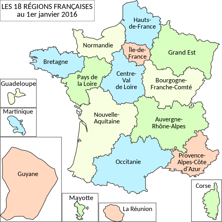
Français : Région françaises au 1er janvier 2016 |
| Date | |
| Source | Own work |
| Author | Monsieur Fou |
Licensing
[edit]
I, the copyright holder of this work, hereby publish it under the following license:
This file is licensed under the Creative Commons Attribution-Share Alike 4.0 International license.
- You are free:
- to share – to copy, distribute and transmit the work
- to remix – to adapt the work
- Under the following conditions:
- attribution – You must give appropriate credit, provide a link to the license, and indicate if changes were made. You may do so in any reasonable manner, but not in any way that suggests the licensor endorses you or your use.
- share alike – If you remix, transform, or build upon the material, you must distribute your contributions under the same or compatible license as the original.
File history
Click on a date/time to view the file as it appeared at that time.
| Date/Time | Thumbnail | Dimensions | User | Comment | |
|---|---|---|---|---|---|
| current | 17:48, 5 October 2016 | | 575 × 575 (76 KB) | Otourly (talk | contribs) | Noms définitifs |
| 18:51, 13 November 2015 |  | 575 × 575 (79 KB) | Monsieur Fou (talk | contribs) | User created page with UploadWizard |
You cannot overwrite this file.
File usage on Commons
The following 10 pages use this file:
- Atlas of France
- January 2016
- Régions de France
- File:COVID-19 outbreak France per capita cases map.svg
- File:Guadeloupe region map (DPJ-2020).svg
- File:Guyane region map (DPJ-2020).svg
- File:La Réunion region map (DPJ-2020).svg
- File:Martinique region map (DPJ-2020).svg
- File:Mayotte region map (DPJ-2020).svg
- File:Règions Franche 2016.png
.svg)
.svg)
.svg)
.svg)
.svg)
File usage on other wikis
The following other wikis use this file:
- Usage on af.wikipedia.org
- Usage on an.wikipedia.org
- Usage on be-tarask.wikipedia.org
- Usage on be.wikipedia.org
- Usage on eo.wikipedia.org
- Usage on es.wikipedia.org
- Usage on fr.wikipedia.org
- Département français
- France
- Région française
- Communauté d'agglomération
- Communauté urbaine
- Commune (France)
- Syndicat intercommunal (France)
- Communauté de communes
- Histoire de la Bretagne
- Histoire de la Lorraine
- Histoire de la Nouvelle-Calédonie
- Histoire de Languedoc-Roussillon
- Syndicat d'agglomération nouvelle
- Histoire de la Champagne
- Histoire de Rhône-Alpes
- Histoire de Poitou-Charentes
- Histoire de l'Aquitaine
- Collectivité d'outre-mer
- Pays (aménagement du territoire)
- Histoire de La Réunion
- Histoire du Nord-Pas-de-Calais
- Syndicat intercommunal à vocation multiple
- Syndicat mixte
- Intercommunalité en France
- Syndicat intercommunal à vocation unique
- Histoire de l'Île-de-France
- Histoire de Midi-Pyrénées
- Organisation territoriale de la France
- Établissement public de coopération intercommunale
- Histoire de la Corse
- Histoire de Saint-Martin
- Histoire de la Franche-Comté
- Histoire du Centre-Val de Loire
- Nouvelle-Calédonie
- Code général des collectivités territoriales
- Conseil régional (France)
- Histoire de l'Alsace
- Histoire de Mayotte
- Histoire de la Guyane
- Département et région d'outre-mer
View more global usage of this file.