File:Mapa Diocesis de Colombia.svg
Jump to navigation
Jump to search

Size of this PNG preview of this SVG file: 530 × 600 pixels. Other resolutions: 212 × 240 pixels | 424 × 480 pixels | 679 × 768 pixels | 905 × 1,024 pixels | 1,810 × 2,048 pixels | 2,027 × 2,294 pixels.
Original file (SVG file, nominally 2,027 × 2,294 pixels, file size: 1.64 MB)
Captions
Captions
Add a one-line explanation of what this file represents
| Description |
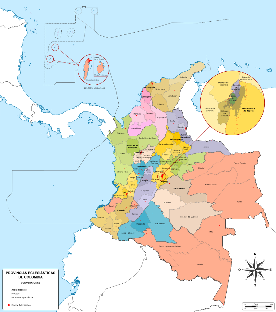
Español: Mapa de las jurisdicciones eclesiásticas de Colombia. Iglesia Católica. |
| Date | |
| Source | Own work |
| Author | SajoR |
| Permission (Reusing this file) |
Trabajo propio, reconocimiento requerido, mantener licencia:(Creative Commons CC-BY-SA-2.5). Citar a Wikipedia ó a Wikimedia como fuente si la imagen es utilizada en otros medios que no sean de los proyectos de la familia Wikipedia. I, SajoR, the copyright holder of this work, hereby publishes it under the following license: This file is licensed under the Creative Commons Attribution-Share Alike 2.5 Generic license. Attribution: I, SajoR
|
| SVG development |
File history
Click on a date/time to view the file as it appeared at that time.
| Date/Time | Thumbnail | Dimensions | User | Comment | |
|---|---|---|---|---|---|
| current | 15:03, 18 July 2019 | | 2,027 × 2,294 (1.64 MB) | SajoR (talk | contribs) | tamaño de archivo |
| 14:43, 18 July 2019 |  | 512 × 579 (1.25 MB) | SajoR (talk | contribs) | actualizo limites y leves cambios estéticos | |
| 20:16, 13 July 2019 |  | 2,027 × 2,294 (1.24 MB) | SajoR (talk | contribs) | actualizo mapa | |
| 20:25, 30 November 2015 |  | 2,027 × 2,294 (1.6 MB) | SajoR (talk | contribs) | actualizo mapa, nuevo vicariato apostolico | |
| 17:37, 19 November 2015 |  | 2,027 × 2,294 (1.58 MB) | Milenioscuro (talk | contribs) | mejoras estéticas y corrección de algunos límites | |
| 20:27, 25 May 2012 |  | 2,039 × 2,281 (1.27 MB) | SajoR (talk | contribs) | corrijo limites eclesiásticos | |
| 02:08, 18 March 2012 |  | 2,039 × 2,281 (1.28 MB) | SajoR (talk | contribs) | ajuste | |
| 23:39, 17 March 2012 |  | 2,039 × 2,281 (1.27 MB) | SajoR (talk | contribs) | ajustes, corrijo limites eclesiásticos | |
| 23:39, 9 January 2012 |  | 2,039 × 2,281 (1.29 MB) | SajoR (talk | contribs) | corrijo errores | |
| 22:36, 9 January 2012 |  | 2,039 × 2,281 (1.29 MB) | SajoR (talk | contribs) | {{Information |Description ={{es|1=Mapa de las jurisdicciones eclesiásticas de Colombia. Iglesia Católica.}} |Source ={{own}} {{attribSVG|Colombia Mapa Politico (en blanco).svg|Shadowxfox}} |Author =SajoR |Date |
You cannot overwrite this file.
File usage on Commons
The following 7 pages use this file:
File usage on other wikis
The following other wikis use this file:
- Usage on de.wikipedia.org
- Usage on en.wikipedia.org
- Usage on es.wikipedia.org
- Usage on fr.wikipedia.org
- Usage on it.wikipedia.org
- Usage on la.wikipedia.org
- Usage on nl.wikipedia.org
- Usage on pl.wikipedia.org
- Usage on pt.wikipedia.org
- Usage on ru.wikipedia.org