File:2009-Basisbeeld-Provincie01-Groningen.jpg
Jump to navigation
Jump to search
Size of this preview: 568 × 600 pixels. Other resolutions: 227 × 240 pixels | 455 × 480 pixels | 734 × 775 pixels.
Original file (734 × 775 pixels, file size: 249 KB, MIME type: image/jpeg)
Captions
Captions
Add a one-line explanation of what this file represents
| Description |
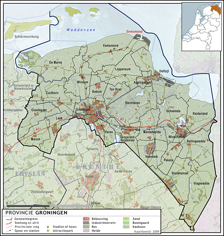
Nederlands: Provincie Groningen, met indeling van gemeenten (2009) en impressie van het landschap.
Door Jan-Willem van Aalst, samengesteld uit publiek beschikbare geo-data:
|
| Date | |
| Source | Own work |
| Author | Janwillemvanaalst |
| Permission (Reusing this file) |
I, the copyright holder of this work, hereby publish it under the following license: This file is licensed under the Creative Commons Attribution-Share Alike 3.0 Unported license.
|
| Other versions | 2009-Provincie-01-Groningen.png |
File history
Click on a date/time to view the file as it appeared at that time.
| Date/Time | Thumbnail | Dimensions | User | Comment | |
|---|---|---|---|---|---|
| current | 05:13, 30 June 2009 | | 734 × 775 (249 KB) | Janwillemvanaalst (talk | contribs) | Update of roads, towns, etc. |
| 17:42, 15 May 2009 |  | 734 × 775 (233 KB) | Janwillemvanaalst (talk | contribs) | {{Information |Description={{nl|1=Provincie Groningen, met indeling van gemeenten (2009) en impressie van het landschap. Door Jan-Willem van Aalst, samengesteld uit publiek beschikbare geo-data: * Referentie-ondergrond (kustlijn, steden, wegen) gerasterd |
You cannot overwrite this file.
File usage on Commons
The following page uses this file: